|
1 members (Alisa),
2,400
guests, and
23
robots. |
|
Key:
Admin,
Global Mod,
Mod
|
|
S |
M |
T |
W |
T |
F |
S |
|
1
|
2
|
3
|
4
|
5
|
6
|
7
|
|
8
|
9
|
10
|
11
|
12
|
13
|
14
|
|
15
|
16
|
17
|
18
|
19
|
20
|
21
|
|
22
|
23
|
24
|
25
|
26
|
27
|
28
|
|
29
|
30
|
|
|
|
|
|
|
There are no members with birthdays on this day. |
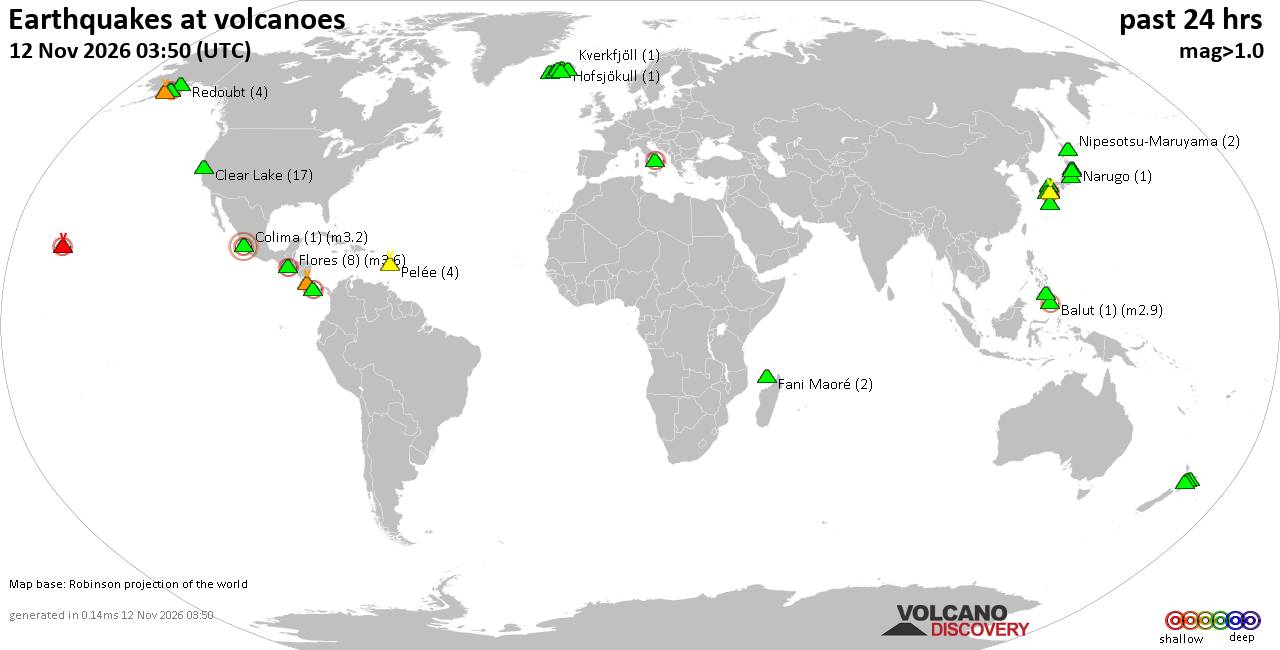
Volcano earthquake report for Thursday, 12 November 2026
• M 1.8 - 15 km E of Pearsall, Texas
• M 1.8 - 15 km E of Pearsall, Texas
• M 1.5 - 5 km WNW of San Francisco Zoo, CA
• M 1.5 - 5 km WNW of San Francisco Zoo, CA
• M 2.1 - 63 km SE of Denali National Park, Alaska
• M 2.1 - 63 km SE of Denali National Park, Alaska
|
|
|
Joined: Feb 2001
Posts: 800,656
Launch Director
|
|
Launch Director
Joined: Feb 2001
Posts: 800,656 |
SPC Day 3-8 Fire Weather OutlookSPC Day 3-8 Fire Weather Outlook 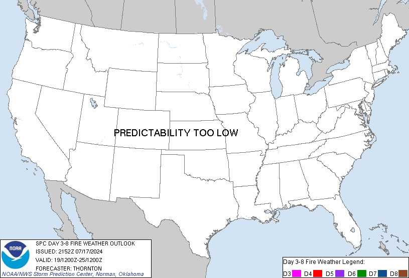
Day 3-8 Fire Weather Outlook
NWS Storm Prediction Center Norman OK
0326 PM CST Thu Nov 12 2026

Valid 141200Z - 201200Z

...Synopsis...
An upper-level trough will gradually exit the East Coast by early
next week as broader ridging shifts into the north-central U.S. and
Canadian Prairies. Surface high pressure along with a period of
prolonged dry conditions and cooler temperatures will settle into
much of the Southeastern U.S. in the wake of the exiting trough. Dry
fuels should be maintained across the region but light winds will
tend to limit a greater fire weather threat through the middle of
next week across the Southeast and mid/lower MS River Valley.

An active troughing pattern will evolve across much of the
Intermountain West as deeper Pacific moisture shifts inland and
associated precipitation subdues fire weather concerns into next
week. The northern Plains and portions of the central Plains should
remain dry through early next week. A mid-level short wave trough
pushes into the southern Plains should bringing widespread rainfall
to the region over the weekend with rainfall amounts tapering off
farther north across the central Plains. Model guidance consensus
suggests a stronger trough ejecting into the central Plains on Day
7/Wednesday which could promote enhanced downslope winds and drying
over the central High Plains. Some uncertainty in the preceding
precipitation event and potential for additional precipitation with
the stronger trough arrival, limits predictability of the fire
weather threat for the central High Plains on Day 7/Wednesday.

..Williams.. 11/12/2026

...Please see www.spc.noaa.gov/fire for graphic product...
Read morehttps://www.spc.noaa.gov/products/exper/fire_wx/
|
|



CMS The Best Conveyancing solicitors conveyancing quotes throughout the UK
For any webhosting enquiries please email webmaster@aus-city.com
|
|
Forums60
Topics924,817
Posts959,614
Members2,960
| |
Most Online102,106
Jul 10th, 2026
|
|
|









































