|
0 members (),
1,403
guests, and
27
robots. |
|
Key:
Admin,
Global Mod,
Mod
|
|
S |
M |
T |
W |
T |
F |
S |
|
1
|
2
|
3
|
4
|
5
|
6
|
7
|
|
8
|
9
|
10
|
11
|
12
|
13
|
14
|
|
15
|
16
|
17
|
18
|
19
|
20
|
21
|
|
22
|
23
|
24
|
25
|
26
|
27
|
28
|
|
29
|
30
|
|
|
|
|
|
|
There are no members with birthdays on this day. |
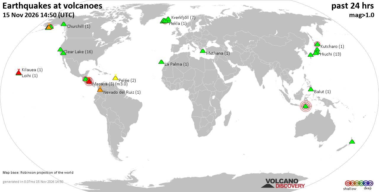
Volcano earthquake report for Sunday, 15 November 2026
• M 3.4 - 11 km SE of Huntsville, Utah
• M 2.2 - 7 km S of Pāhala, Hawaii
• M 1.3 - 7 km NW of The Geysers, CA
• M 4.5 - 120 km E of Port-Olry, Vanuatu
• M 0.9 - 6 km S of Redlands, CA
• M 1.8 - 17 km W of Ivanof Bay, Alaska
|
|
|
Joined: Feb 2001
Posts: 800,656
Launch Director
|
|
Launch Director
Joined: Feb 2001
Posts: 800,656 |
SPC Day 3-8 Fire Weather OutlookSPC Day 3-8 Fire Weather Outlook 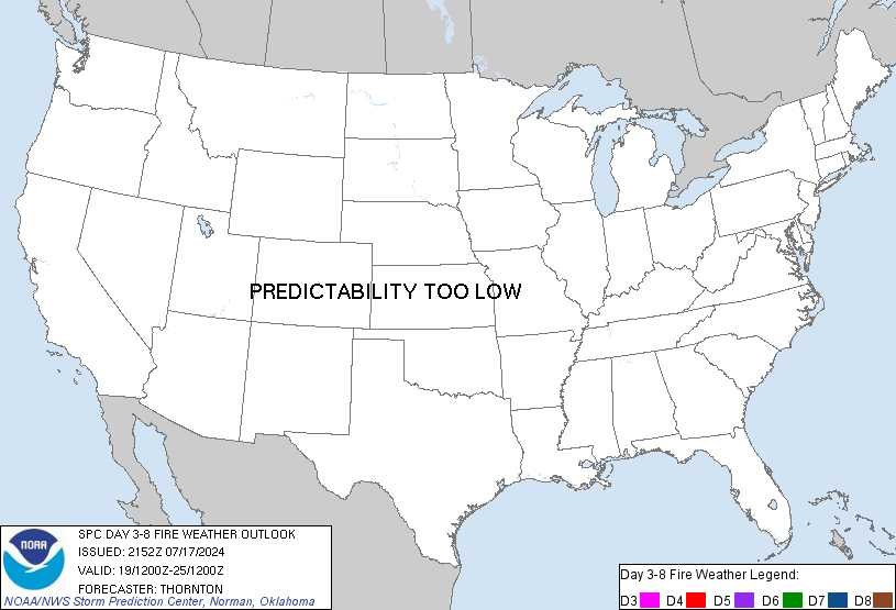
Day 3-8 Fire Weather Outlook
NWS Storm Prediction Center Norman OK
0206 PM CST Sun Nov 15 2026

Valid 171200Z - 231200Z

...Synopsis...
Surface high pressure will reside across the eastern CONUS through
the workweek, maintaining dry conditions amid rising daytime high
temperatures from the lower MS River Valley into the Mid-Atlantic.
Forecast annual ERCs will approach the 80-90th percentile by late
next week across the Piedmont as minimum RH values range from
20-35%, but lighter prevailing winds should reduce broader fire
weather concerns.

The western U.S. will be categorized by an active troughing pattern
through the forecast period. An initial shortwave trough and
entrained Pacific moisture will promote precipitation across
portions of the Interior West through Day 3/Tuesday, then eject into
the central/northern Plains on Day 4/Wednesday. Enhanced downslope
winds are expected to overspread southeastern WY into the NE
Panhandle, and farther south in the CO Front Range and mountain
valleys. RH values are expected to remain above critical thresholds
in WY/NE, but may decline to less than 20% in central/eastern CO.
Marginal fuels across the region should limit a critical fire
weather threat on Day 4/Wednesday, though locally elevated
conditions may arise where pockets of dry fuels exist.

Furthermore, a secondary upper trough is forecast to move onshore
and translate over the western CONUS Days 5-6/Thursday-Friday.
However, too much uncertainty in the quality of associated moisture
and timing/strength of the trough progression limits predictability.

..Elizalde-Garcia.. 11/15/2026

...Please see www.spc.noaa.gov/fire for graphic product...
Read morehttps://www.spc.noaa.gov/products/exper/fire_wx/
|
|



CMS The Best Conveyancing solicitors conveyancing quotes throughout the UK
For any webhosting enquiries please email webmaster@aus-city.com
|
|
Forums60
Topics929,305
Posts964,102
Members2,960
| |
Most Online102,106
Jul 10th, 2026
|
|
|









































