|
0 members (),
2,324
guests, and
25
robots. |
|
Key:
Admin,
Global Mod,
Mod
|
|
S |
M |
T |
W |
T |
F |
S |
|
1
|
2
|
3
|
4
|
5
|
6
|
7
|
|
8
|
9
|
10
|
11
|
12
|
13
|
14
|
|
15
|
16
|
17
|
18
|
19
|
20
|
21
|
|
22
|
23
|
24
|
25
|
26
|
27
|
28
|
|
29
|
30
|
|
|
|
|
|
|
There are no members with birthdays on this day. |
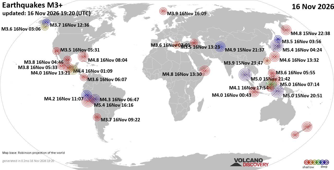
World Earthquake Report for Monday, 16 November 2026
• Moderate mag. 4.5 earthquake - 160 km northwest of Kavieng, New Ireland Pro...
• M 4.4 - off the coast of Oregon
• M 2.3 - 14 km ESE of Clam Gulch, Alaska
• M 3.9 - Rat Islands, Aleutian Islands, Alaska
• M 1.8 - 8 km NW of Round Valley, CA
• M 0.7 - 9 km S of Idyllwild, CA
|
|
|
Joined: Feb 2001
Posts: 800,656
Launch Director
|
|
Launch Director
Joined: Feb 2001
Posts: 800,656 |
SPC Day 3-8 Fire Weather OutlookSPC Day 3-8 Fire Weather Outlook 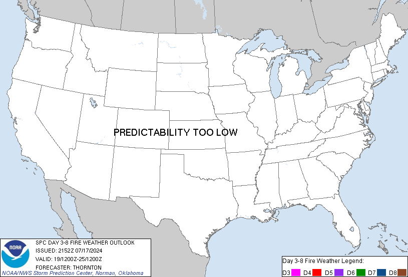
Day 3-8 Fire Weather Outlook
NWS Storm Prediction Center Norman OK
0340 PM CST Mon Nov 16 2026

Valid 181200Z - 241200Z

...Discussion...
Surface high pressure will reside across the eastern CONUS through
the week, maintaining dry conditions amid rising daytime high
temperatures from the lower MS River Valley into the Mid-Atlantic.
Forecast annual ERCs will approach the 80-90th percentile by Day
3/Wednesday across the Piedmont as minimum RH values range from
20-35%, but lighter prevailing winds should reduce broader fire
weather concerns. Beyond the workweek, uncertainty in the evolution
of the upper pattern can be attributed to varying guidance in the
possible emergence of a surface low near the east coast of FL.
Depending on the track and position of this coastal low,
precipitation chances could materialize across the drying fuelscape.

The western U.S. will be categorized by an active troughing pattern
through the forecast period. An initial shortwave trough will eject
into the central/northern Plains on Day 3/Wednesday, promoting
enhanced downslope winds across southeastern WY into the NE
Panhandle, and farther south in the CO Front Range and mountain
valleys. RH values are expected to remain above critical thresholds
in WY/NE, but may decline to less than 20% in central/eastern CO.
Marginal fuels across the region should limit a critical fire
weather threat on Day 3/Wednesday, though locally elevated
conditions could arise where pockets of dry fuels exist.

Furthermore, a secondary upper trough is forecast to move onshore
then translate over the western CONUS on Days 4-5/Thursday-Friday.
This system is expected to induce cooler than normal temperatures
across the West, and eventually permeate the northern/central Plains
this weekend.

..Elizalde-Garcia.. 11/16/2026

...Please see www.spc.noaa.gov/fire for graphic product...
Read morehttps://www.spc.noaa.gov/products/exper/fire_wx/
|
|



CMS The Best Conveyancing solicitors conveyancing quotes throughout the UK
For any webhosting enquiries please email webmaster@aus-city.com
|
|
Forums60
Topics930,716
Posts965,513
Members2,960
| |
Most Online102,106
Jul 10th, 2026
|
|
|









































