|
0 members (),
2,079
guests, and
31
robots. |
|
Key:
Admin,
Global Mod,
Mod
|
|
S |
M |
T |
W |
T |
F |
S |
|
1
|
2
|
3
|
4
|
5
|
6
|
7
|
|
8
|
9
|
10
|
11
|
12
|
13
|
14
|
|
15
|
16
|
17
|
18
|
19
|
20
|
21
|
|
22
|
23
|
24
|
25
|
26
|
27
|
28
|
|
29
|
30
|
|
|
|
|
|
|
There are no members with birthdays on this day. |
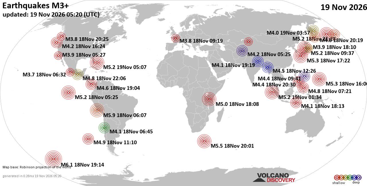
World Earthquake Report for Thursday, 19 November 2026
• Significant magnitude 5.2 quake hits 96 km east of Freeport, Bahamas, after...
• M 1.6 - 68 km WNW of Karluk, Alaska
• M 5.2 - 130 km W of Teluk Dalam, Indonesia
• Strong mag. 5.2 earthquake - Bahamas: Bahama Islands on Thursday, Nov 19, 2...
• M 5.0 - 111 km W of Petrolia, CA
|
|
|
Joined: Feb 2001
Posts: 800,656
Launch Director
|
|
Launch Director
Joined: Feb 2001
Posts: 800,656 |
SPC Day 3-8 Fire Weather OutlookSPC Day 3-8 Fire Weather Outlook 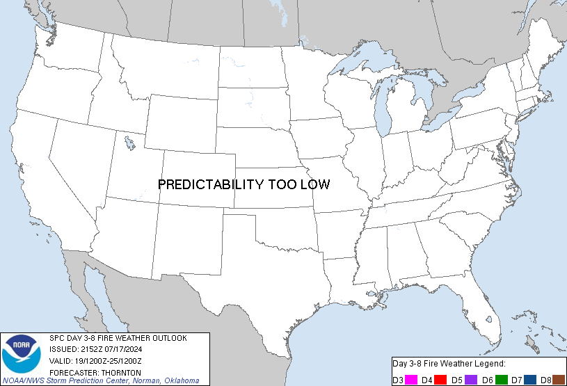
Day 3-8 Fire Weather Outlook
NWS Storm Prediction Center Norman OK
0351 PM CST Wed Nov 18 2026

Valid 201200Z - 261200Z

...Synopsis...
An amplified upper trough over the Intermountain West on Day
3/Friday will eject into the central U.S. this weekend, sending much
cooler temperatures into the Great Plains and Upper Midwest. An
unsettled pattern will continue as a secondary trough approaches the
West Coast on Day 5/Sunday. Increased humidity and marginal fuels
are expected to limit fire weather concerns across the western-half
of the CONUS through the forecast period.

Farther east, dry surface conditions amid light prevailing winds
will continue through Day 4/Saturday across the Mid-Atlantic.
Surface high pressure over the Northeast will weaken and transition
offshore as a trough approaches from the west this weekend.
Furthermore, surface low pressure is forecast to develop near the
northern Bahamas on Day 3/Friday, potentially gliding up the Eastern
Seaboard through early next week. Significant model spread yields
uncertainty in the strength and path of this coastal low, in
addition to any precipitation potential where fuels are
deteriorating across the Appalachians and Piedmont. As such,
predictability of any significant fire weather threat beyond Day
5/Sunday is low.

..Elizalde-Garcia.. 11/18/2026

...Please see www.spc.noaa.gov/fire for graphic product...
Read morehttps://www.spc.noaa.gov/products/exper/fire_wx/
|
|



CMS The Best Conveyancing solicitors conveyancing quotes throughout the UK
For any webhosting enquiries please email webmaster@aus-city.com
|
|
Forums60
Topics935,002
Posts969,799
Members2,960
| |
Most Online102,106
Jul 10th, 2026
|
|
|









































