|
0 members (),
2,197
guests, and
25
robots. |
|
Key:
Admin,
Global Mod,
Mod
|
|
S |
M |
T |
W |
T |
F |
S |
|
1
|
2
|
3
|
4
|
5
|
6
|
7
|
|
8
|
9
|
10
|
11
|
12
|
13
|
14
|
|
15
|
16
|
17
|
18
|
19
|
20
|
21
|
|
22
|
23
|
24
|
25
|
26
|
27
|
28
|
|
29
|
30
|
|
|
|
|
|
|
There are no members with birthdays on this day. |

Volcano earthquake report for Sunday, 22 November 2026
• Moderate mag. 4.5 earthquake - 73 km north of Calama, Provincia de El Loa, ...
• Magnitude 5.2 earthquake strikes near Cerro de Pasco, Pasco Province, Depar...
• M 2.0 - 8 km NW of Pinnacles, CA
• M 2.7 - 26 km WNW of Yachats, Oregon
• M 5.0 - 15 km NNE of Carhuamayo, Peru
|

#974245
Fri 20 Nov 2026 04:15:PM
|
Joined: Feb 2001
Posts: 800,656
Launch Director
|
|
Launch Director
Joined: Feb 2001
Posts: 800,656 |
SPC Day 1 Fire Weather OutlookSPC Day 1 Fire Weather Outlook 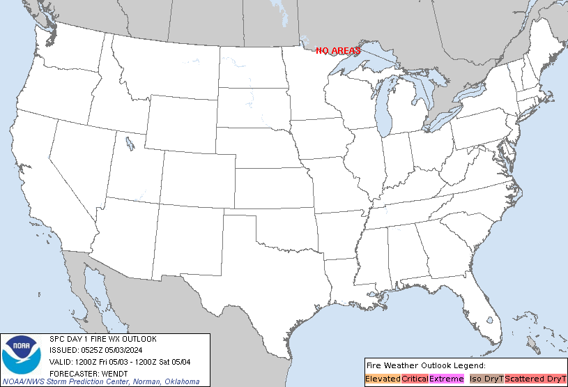
Day 1 Fire Weather Outlook
NWS Storm Prediction Center Norman OK
1014 AM CST Fri Nov 20 2026

Valid 201700Z - 211200Z

The current forecast remains on track with elevated fire weather
conditions expected across portions of the Colorado Front Range and
adjacent high plains into far southeastern WY and the NE Panhandle.
A 70-80 knot mid-level jet ahead of an upper trough over the western
U.S. will move into the central High Plains through this afternoon.
In addition, a strengthening surface low over the central and
northern Plains will contribute to increasing southerly to
southwesterly winds across the central High Plains. Current surface
dewpoints of 20-25F along the CO Front Range coupled with boundary
layer warming into the 60s under persistent downslope trajectories
will yield afternoon RH values between 15-20%. The dry conditions
along with southwest winds of 15-20 mph (locally 25 mph with higher
gusts) will promote an elevated fire weather threat amid areas of
dormant/cured fine fuels.

..Williams.. 11/20/2026

.PREV DISCUSSION... /ISSUED 1118 PM CST Thu Nov 19 2026/

...Synopsis...
A broad mid-level trough will traverse the Rockies and impinge on
the central CONUS, resulting in strong surface lee troughing over
the Great Plains today. Southerly moisture return will begin over
the southern Plains, but strong surface winds out of the
south-southwest will persist over the central High Plains amid poor
moisture recovery. 20+ mph sustained surface winds will coincide
with 20-25 percent RH and overspread marginally dry fuels for
several hours this afternoon, necessitating Elevated highlights.

...Please see www.spc.noaa.gov/fire for graphic product...
Read morehttps://www.spc.noaa.gov/products/fire_wx/fwdy1.html
|
|



CMS The Best Conveyancing solicitors conveyancing quotes throughout the UK
For any webhosting enquiries please email webmaster@aus-city.com
|
|
Forums60
Topics940,686
Posts975,483
Members2,960
| |
Most Online102,106
Jul 10th, 2026
|
|
|









































