|
0 members (),
2,197
guests, and
25
robots. |
|
Key:
Admin,
Global Mod,
Mod
|
|
S |
M |
T |
W |
T |
F |
S |
|
1
|
2
|
3
|
4
|
5
|
6
|
7
|
|
8
|
9
|
10
|
11
|
12
|
13
|
14
|
|
15
|
16
|
17
|
18
|
19
|
20
|
21
|
|
22
|
23
|
24
|
25
|
26
|
27
|
28
|
|
29
|
30
|
|
|
|
|
|
|
There are no members with birthdays on this day. |

Volcano earthquake report for Sunday, 22 November 2026
• Moderate mag. 4.5 earthquake - 73 km north of Calama, Provincia de El Loa, ...
• Magnitude 5.2 earthquake strikes near Cerro de Pasco, Pasco Province, Depar...
• M 2.0 - 8 km NW of Pinnacles, CA
• M 2.7 - 26 km WNW of Yachats, Oregon
• M 5.0 - 15 km NNE of Carhuamayo, Peru
|
|
|
Joined: Feb 2001
Posts: 800,656
Launch Director
|
|
Launch Director
Joined: Feb 2001
Posts: 800,656 |
SPC Day 3-8 Fire Weather OutlookSPC Day 3-8 Fire Weather Outlook 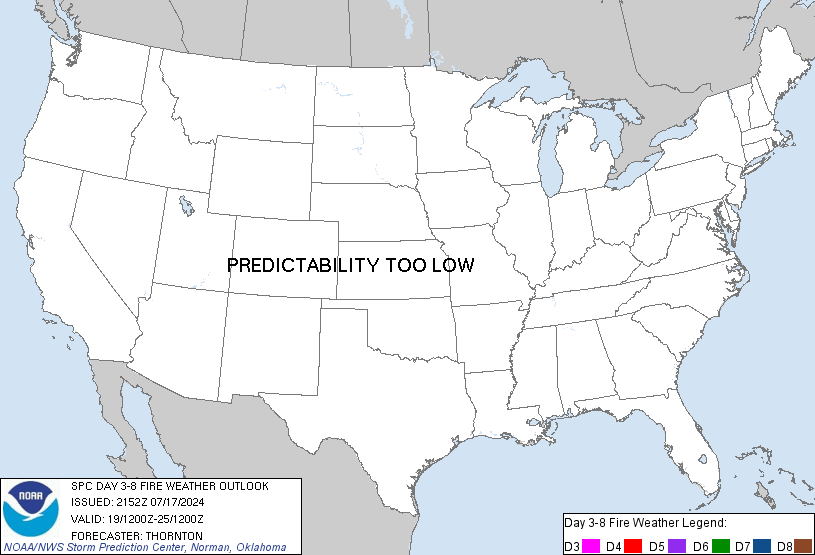
Day 3-8 Fire Weather Outlook
NWS Storm Prediction Center Norman OK
0254 PM CST Sat Nov 21 2026

Valid 231200Z - 291200Z

...Synopsis...
A cold front will push into the eastern U.S. on Day 3/Monday while
cold, high pressure settles into the Upper Midwest. Cooler
temperatures and at least some light rainfall is expected across the
Appalachians on Monday, helping to subdue fuels and fire danger. Dry
and breezy post-frontal winds from the north/northeast are expected
across parts of the Mid Mississippi Valley into the southern Plains
Days 3-4/Monday-Tuesday, but unsupportive fuels should limit the
meteorological impacts.

An active, progressive upper wave cycle is likely to continue
through Day 8/Saturday. Medium range ensemble guidance suggests a
a more amplified ridge/trough pattern emerging late next week across
the Contiguous U.S. around Day 7/Friday. A building ridge across the
west would promote stronger northwest flow into the central/southern
Rockies bolstering the potential for dry, downslope conditions
across portions of the northern and central High Plains. However, a
lack of a defined surface low pressure in model guidance over the
central/northern Plains limits predictability of surface winds this
far out.

..Williams.. 11/21/2026

...Please see www.spc.noaa.gov/fire for graphic product...
Read morehttps://www.spc.noaa.gov/products/exper/fire_wx/
|
|



CMS The Best Conveyancing solicitors conveyancing quotes throughout the UK
For any webhosting enquiries please email webmaster@aus-city.com
|
|
Forums60
Topics940,686
Posts975,483
Members2,960
| |
Most Online102,106
Jul 10th, 2026
|
|
|









































