|
|
|
0 members (),
1,472
guests, and
25
robots. |
|
Key:
Admin,
Global Mod,
Mod
|
|
S |
M |
T |
W |
T |
F |
S |
|
1
|
2
|
3
|
4
|
5
|
6
|
7
|
|
8
|
9
|
10
|
11
|
12
|
13
|
14
|
|
15
|
16
|
17
|
18
|
19
|
20
|
21
|
|
22
|
23
|
24
|
25
|
26
|
27
|
28
|
|
29
|
30
|
|
|
|
|
|
|
There are no members with birthdays on this day. |
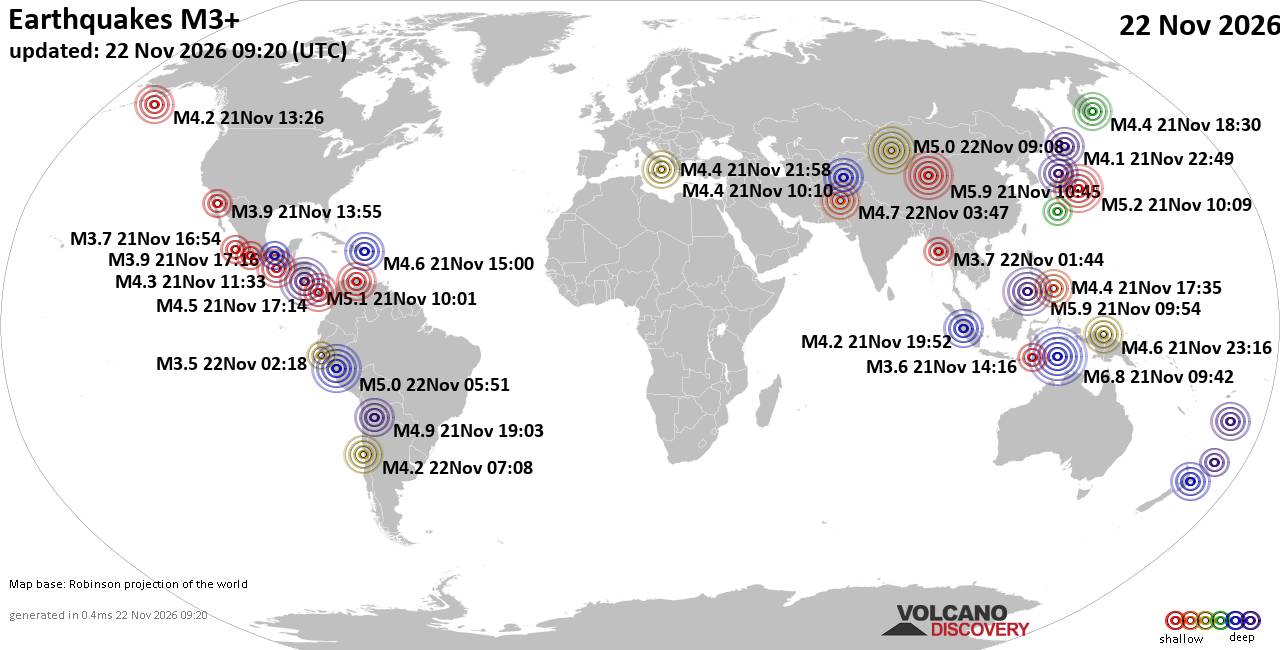
World Earthquake Report for Sunday, 22 November 2026
• M 2.8 - 152 km S of Cordova, Alaska
• M 5.4 - 159 km E of Masohi, Indonesia
• M 4.2 - south of the Fiji Islands
• M 0.7 - 5 km WNW of The Geysers, CA
• Strong mag. 5.0 earthquake - 47 km southeast of Ürümqi, Xinjiang, China, ...
|
|
|
Joined: Feb 2001
Posts: 800,656
Launch Director
|
|
Launch Director
Joined: Feb 2001
Posts: 800,656 |
SPC Nov 22, 2026 Day 4-8 Severe Weather OutlookDay 4-8 Outlook 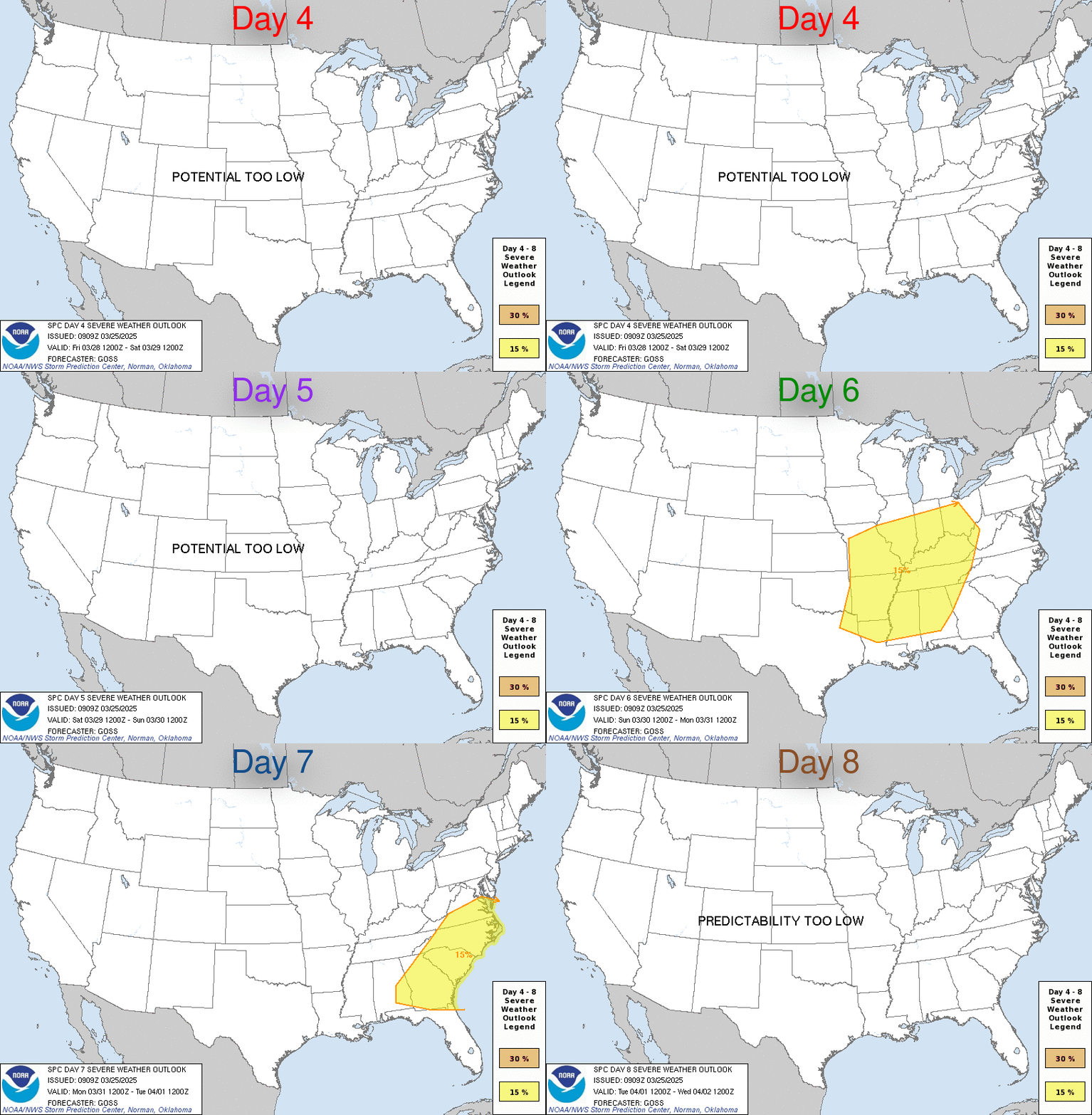
Day 4-8 Convective Outlook
NWS Storm Prediction Center Norman OK
0308 AM CST Sun Nov 22 2026

Valid 251200Z - 301200Z

...DISCUSSION...
Severe potential appears limited across the CONUS through the
extended forecast period. Surface high pressure will be in place
through midweek favoring a cool, dry and stable air mass over much
of the country. D5/Thursday a shortwave trough over the northern
Gulf should intensify as it crosses FL and moves northeastward along
the Atlantic Coast. A strong coastal low is expected to form near or
just offshore of the Outer Banks associated with an intensifying
cold front. Current model guidance suggests any substantial warm
sector will likely remain offshore, limiting the severe risk.

D6/Friday, the cold front will likely move offshore as the shortwave
trough lifts over the Northeast. Mid-level ridging is forecast to
develop over the West as the more progressive westerlies become
focused across the lower third of the CONUS. Surface high pressure
behind the cold front will likely settle over the northern Gulf
preventing substantial moisture/destabilization inland through next
weekend.
Read morehttps://www.spc.noaa.gov/products/exper/day4-8/
|
|



CMS The Best Conveyancing solicitors conveyancing quotes throughout the UK
For any webhosting enquiries please email webmaster@aus-city.com
|
|
Forums60
Topics940,015
Posts974,812
Members2,960
| |
Most Online102,106
Jul 10th, 2026
|
|
|
|
|

|









































