|
0 members (),
1,082
guests, and
26
robots. |
|
Key:
Admin,
Global Mod,
Mod
|
|
S |
M |
T |
W |
T |
F |
S |
|
|
1
|
2
|
3
|
4
|
5
|
6
|
|
7
|
8
|
9
|
10
|
11
|
12
|
13
|
|
14
|
15
|
16
|
17
|
18
|
19
|
20
|
|
21
|
22
|
23
|
24
|
25
|
26
|
27
|
|
28
|
29
|
30
|
|
|
|
|
|
There are no members with birthdays on this day. |

World Earthquake Report for Monday, 22 June 2026
• Moderate mag. 4.9 earthquake - Fiji Islands Region on Monday, Jun 22, 2026,...
• Moderate mag. 4.1 earthquake - South Pacific Ocean, 491 km northeast of Tau...
• Volcano earthquake report for Monday, 22 Jun 2026
• Moderate mag. 4.6 earthquake - 42 km south of Tocopilla, Provincia de Tocop...
• Moderate mag. 4.9 earthquake - South Pacific Ocean, 277 km south of Nuku'al...
|
|
|
Joined: Feb 2001
Posts: 678,976
Launch Director
|
OP

Launch Director
Joined: Feb 2001
Posts: 678,976 |
SPC Severe Thunderstorm Watch 377WW 377 SEVERE TSTM CO 221930Z - 230300Z 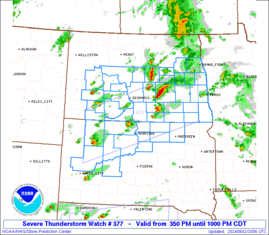
URGENT - IMMEDIATE BROADCAST REQUESTED
Severe Thunderstorm Watch Number 377
NWS Storm Prediction Center Norman OK
130 PM MDT Mon Jun 22 2026

The NWS Storm Prediction Center has issued a

* Severe Thunderstorm Watch for portions of
  Eastern Colorado

* Effective this Monday afternoon and evening from 130 PM until
  900 PM MDT.

* Primary threats include...
  Scattered large hail and isolated very large hail events to 3
    inches in diameter likely
  Scattered damaging wind gusts to 70 mph possible
  A tornado or two possible

SUMMARY...Scattered thunderstorms will develop this afternoon over
eastern Colorado, in a relatively moist and unstable air mass.
Large to very-large hail will be the primary risk with this
activity.

The severe thunderstorm watch area is approximately along and 60
statute miles east and west of a line from 60 miles north of Akron
CO to 35 miles west southwest of Springfield CO. For a complete
depiction of the watch see the associated watch outline update
(WOUS64 KWNS WOU7).

PRECAUTIONARY/PREPAREDNESS ACTIONS...

REMEMBER...A Severe Thunderstorm Watch means conditions are
favorable for severe thunderstorms in and close to the watch area.
Persons in these areas should be on the lookout for threatening
weather conditions and listen for later statements and possible
warnings. Severe thunderstorms can and occasionally do produce
tornadoes.

&&

OTHER WATCH INFORMATION...CONTINUE...WW 374...WW 375...WW 376...

AVIATION...A few severe thunderstorms with hail surface and aloft to
3 inches. Extreme turbulence and surface wind gusts to 60 knots. A
few cumulonimbi with maximum tops to 500. Mean storm motion vector
30025.

...Hart
Read morehttps://www.spc.noaa.gov/products/watch/ww0377.html
|
|


CMS The Best Conveyancing solicitors conveyancing quotes throughout the UK
For any webhosting enquiries please email webmaster@aus-city.com
|
|
Forums60
Topics783,432
Posts818,194
Members2,960
| |
Most Online22,463
May 9th, 2026
|
|
|


 - Click image for larger picture.")


