|
|
|
0 members (),
1,862
guests, and
22
robots. |
|
Key:
Admin,
Global Mod,
Mod
|
|
S |
M |
T |
W |
T |
F |
S |
|
|
|
|
1
|
2
|
3
|
4
|
|
5
|
6
|
7
|
8
|
9
|
10
|
11
|
|
12
|
13
|
14
|
15
|
16
|
17
|
18
|
|
19
|
20
|
21
|
22
|
23
|
24
|
25
|
|
26
|
27
|
28
|
29
|
30
|
|
|
|
There are no members with birthdays on this day. |

#760547
Tue 15 Apr 2025 12:00:AM
|
Joined: Feb 2001
Posts: 381,904
Launch Director
|
OP

Launch Director
Joined: Feb 2001
Posts: 381,904 |
SPC Severe Thunderstorm Watch 139WW 139 SEVERE TSTM VA WV 142250Z - 150500Z 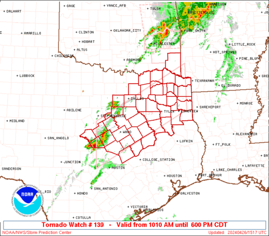
URGENT - IMMEDIATE BROADCAST REQUESTED
Severe Thunderstorm Watch Number 139
NWS Storm Prediction Center Norman OK
650 PM EDT Mon Apr 14 2025

The NWS Storm Prediction Center has issued a

* Severe Thunderstorm Watch for portions of
  Northern and Central Virginia
  Eastern West Virginia

* Effective this Monday night and Tuesday morning from 650 PM
  until 100 AM EDT.

* Primary threats include...
  Scattered damaging wind gusts to 70 mph likely
  Scattered large hail and isolated very large hail events to 2
    inches in diameter possible

SUMMARY...Supercells will continue to move eastward this evening
while posing a threat for large to very large hail up to 1-2 inches
in diameter. Scattered damaging winds with peak gusts of 60-70 mph
will also be likely with any clusters that can form while also
spreading quickly eastward.

The severe thunderstorm watch area is approximately along and 55
statute miles north and south of a line from 35 miles northwest of
Staunton VA to 35 miles north of Richmond VA. For a complete
depiction of the watch see the associated watch outline update
(WOUS64 KWNS WOU9).

PRECAUTIONARY/PREPAREDNESS ACTIONS...

REMEMBER...A Severe Thunderstorm Watch means conditions are
favorable for severe thunderstorms in and close to the watch area.
Persons in these areas should be on the lookout for threatening
weather conditions and listen for later statements and possible
warnings. Severe thunderstorms can and occasionally do produce
tornadoes.

&&

OTHER WATCH INFORMATION...CONTINUE...WW 138...

AVIATION...A few severe thunderstorms with hail surface and aloft to
2 inches. Extreme turbulence and surface wind gusts to 60 knots. A
few cumulonimbi with maximum tops to 500. Mean storm motion vector
28045.

...Gleason
Read morehttps://www.spc.noaa.gov/products/watch/ww0139.html
|
|


CMS The Best Conveyancing solicitors conveyancing quotes throughout the UK
For any webhosting enquiries please email webmaster@aus-city.com
|
|
Entire Thread
|
 SPC Severe Thunderstorm Watch 139
|
Webmaster
|
Tue 15 Apr 2025 12:00:AM
|
|
Forums60
Topics770,087
Posts804,863
Members2,958
| |
Most Online17,963
Jan 15th, 2026
|
|
|
|
|
Copyright 1996 - 2026 by David Cottle. Designed by David Bate Jr. All Rights Reserved.
By using this forum, the user agrees not to transfer any data or technical information received under the agreement, to any other entity without the express approval of the AUS-CITY Forum Admins and/or authors of individual posts (Forum Admins and DoD/USSPACECOM for the analysis of satellite tracking data).
Two-line elements (TLE) and all other satellite data presented and distributed via this forum and e-mail lists of AUS-CITY are distributed with permission from DoD/USSTRATCOM.

Reprise Hosting

|

|


 - Click image for larger picture.")


