|
|
|
0 members (),
983
guests, and
27
robots. |
|
Key:
Admin,
Global Mod,
Mod
|
|
S |
M |
T |
W |
T |
F |
S |
|
|
|
|
|
|
1
|
2
|
|
3
|
4
|
5
|
6
|
7
|
8
|
9
|
|
10
|
11
|
12
|
13
|
14
|
15
|
16
|
|
17
|
18
|
19
|
20
|
21
|
22
|
23
|
|
24
|
25
|
26
|
27
|
28
|
29
|
30
|
|
31
|
|
|
|
|
|
|
|
There are no members with birthdays on this day. |
|
|
Joined: Feb 2001
Posts: 381,904
Launch Director
|
OP

Launch Director
Joined: Feb 2001
Posts: 381,904 |
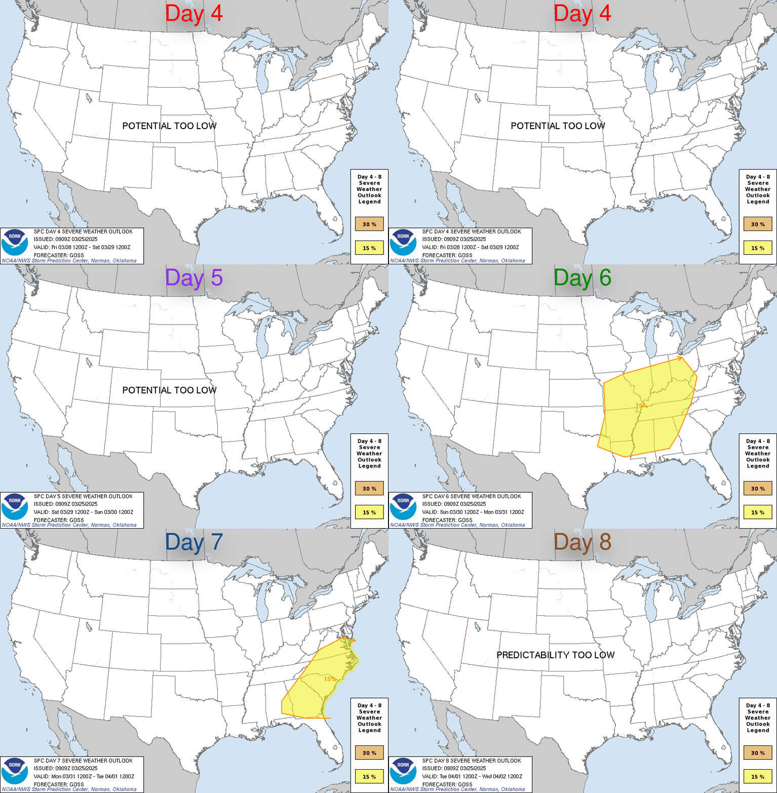
SPC Aug 14, 2025 Day 4-8 Severe Weather OutlookDay 4-8 Outlook 
Day 4-8 Convective Outlook
NWS Storm Prediction Center Norman OK
0326 AM CDT Thu Aug 14 2025

Valid 171200Z - 221200Z

...DISCUSSION...
An upper ridge is forecast to build over the Plains and Rockies
through Tuesday/D6, with the upper high retrograding from the
central Plains to the Four Corners. East of the ridge axis,
northwest midlevel flow of 20-30 kt will persist over the upper MS
Valley/Great Lakes, with a large area of moisture and instability
roughly from MN/IA to IL/IN. This pattern should support corridors
of thunderstorms in the low-level warm advection zone, or along the
northern instability gradient through Tuesday/D6. While areas of
strong wind gusts will be possible, the overall severe probably is
less than the 15% threshold over this large zone.

The upper ridge may flatten over the northern Rockies/Plains beyond
D6, with perhaps an eventual northwest flow regime coinciding with
residual instability, supporting at least minimal severe potential
over the northern Plains.
Read morehttps://www.spc.noaa.gov/products/exper/day4-8/
|
|


CMS The Best Conveyancing solicitors conveyancing quotes throughout the UK
For any webhosting enquiries please email webmaster@aus-city.com
|
|
Entire Thread
|

 SPC Aug 14, 2025 Day 4-8 Severe Weather Outlook
|
Webmaster
|
7 hours ago
|
|
Forums60
Topics735,211
Posts769,834
Members2,958
| |
Most Online4,158
Jun 21st, 2024
|
|
|
|
|
Copyright 1996 - 2024 by David Cottle. Designed by David Bate Jr. All Rights Reserved.
By using this forum, the user agrees not to transfer any data or technical information received under the agreement, to any other entity without the express approval of the AUS-CITY Forum Admins and/or authors of individual posts (Forum Admins and DoD/USSPACECOM for the analysis of satellite tracking data).
Two-line elements (TLE) and all other satellite data presented and distributed via this forum and e-mail lists of AUS-CITY are distributed with permission from DoD/USSTRATCOM.


Reprise Hosting


|

|