|
0 members (),
1,059
guests, and
24
robots. |
|
Key:
Admin,
Global Mod,
Mod
|
|
S |
M |
T |
W |
T |
F |
S |
|
1
|
2
|
3
|
4
|
5
|
6
|
7
|
|
8
|
9
|
10
|
11
|
12
|
13
|
14
|
|
15
|
16
|
17
|
18
|
19
|
20
|
21
|
|
22
|
23
|
24
|
25
|
26
|
27
|
28
|
|
29
|
30
|
31
|
|
|
|
|
|
There are no members with birthdays on this day. |

#786766
Sat 29 Nov 2025 11:02:PM
|
Joined: Feb 2001
Posts: 381,904
Launch Director
|
OP

Launch Director
Joined: Feb 2001
Posts: 381,904 |
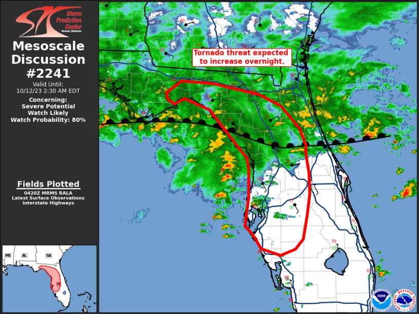
SPC MD 2241MD 2241 CONCERNING SEVERE POTENTIAL...WATCH UNLIKELY FOR CENTRAL TEXAS TO THE TEXAS COASTAL PLAIN 
Mesoscale Discussion 2241
NWS Storm Prediction Center Norman OK
0317 PM CST Sat Nov 29 2025

Areas affected...Central Texas to the Texas Coastal Plain

Concerning...Severe potential...Watch unlikely

Valid 292117Z - 292315Z

Probability of Watch Issuance...5 percent

SUMMARY...Thunderstorm development is underway across north-central
TX and across parts of the TX Coastal Plain. Thunderstorms are
expected to generally remain sub-severe, but a few strong/severe
storms are possible.

DISCUSSION...The early stages of thunderstorm development are
underway near the DFW metro area where a cold front is impinging on
northward returning moisture. Modest moisture advection will likely
continue immediately ahead of the front across portions of central
and northeastern TX for the next several hours, supporting around
500 J/kg MLCAPE and the potential for additional thunderstorms.
Despite strong mid-level flow over the region, recent ACARS
soundings and RAP/HRRR forecast soundings show very modest/narrow
buoyancy profiles on the northern fringe of the returning moisture.
This, along with the undercutting nature of the front, should hinder
overall updraft intensities. Nonetheless, damaging winds, and
perhaps instances of severe hail, appear possible as storms spread
east/southeast given a favorable kinematic environment.

Further south, shallow convective showers have been percolating over
the past 1-2 hours along and north of the I-10 corridor
west/northwest of the Houston metro within a low-level confluence
zone/residual gravity wave. Cumulus has gradually become more
cellular within this zone and at least one attempt at deep
convection is noted as temperatures warm into the upper 70s and low
80s - a few degrees warmer than anticipated by recent guidance.
High-res models continue to show considerable spread/uncertainty on
thunderstorm coverage within this zone in the 21-00 UTC time frame,
but the warm temperatures and persistent, albeit weak, mesoscale
lift suggest that at least a few additional attempts at deep
convection should be anticipated prior to 00z and the arrival of the
cold front later tonight. If deep convection can mature, better
buoyancy (1000 J/kg MLCAPE) and slightly better low-level helicity
near the surface warm front may support a relatively higher chance
for strong/severe thunderstorms, including the potential for a brief
tornado, though confidence in this potential is low.

Given the modest environment across northern/central TX and
uncertainty pertaining to thunderstorm coverage along the Coastal
Plain, watch issuance is not expected.

..Moore/Gleason.. 11/29/2025

...Please see www.spc.noaa.gov for graphic product...

ATTN...WFO...LCH...SHV...HGX...FWD...EWX...

LAT...LON   29769492 29539539 29449608 29499674 29659725 29839771
            30399801 31779815 32259799 32509782 32759750 32909719
            32959678 32899635 32739612 30839448 30469431 30209439
            29999457 29769492

MOST PROBABLE PEAK TORNADO INTENSITY...85-115 MPH
MOST PROBABLE PEAK WIND GUST...UP TO 60 MPH
MOST PROBABLE PEAK HAIL SIZE...UP TO 1.25 IN
Read morehttps://www.spc.noaa.gov/products/md/md2241.html
|
|


CMS The Best Conveyancing solicitors conveyancing quotes throughout the UK
For any webhosting enquiries please email webmaster@aus-city.com
|
|
Entire Thread
|

 SPC MD 2241
|
Webmaster
|
Sat 29 Nov 2025 11:02:PM
|
|
Forums60
Topics765,212
Posts799,960
Members2,958
| |
Most Online17,963
Jan 15th, 2026
|
|
|