|
0 members (),
1,802
guests, and
29
robots. |
|
Key:
Admin,
Global Mod,
Mod
|
|
S |
M |
T |
W |
T |
F |
S |
|
1
|
2
|
3
|
4
|
5
|
6
|
7
|
|
8
|
9
|
10
|
11
|
12
|
13
|
14
|
|
15
|
16
|
17
|
18
|
19
|
20
|
21
|
|
22
|
23
|
24
|
25
|
26
|
27
|
28
|
|
There are no members with birthdays on this day. |
|
|
|
|
SPC MD 102
by Webmaster - Fri 20 Feb 2026 12:15:AM
|
SPC MD 103
by Webmaster - Fri 20 Feb 2026 12:15:AM
|
SPC MD 104
by Webmaster - Fri 20 Feb 2026 12:15:AM
|
|
|
|
|
|
|
|
|
|
|
|
|
Joined: Feb 2001
Posts: 381,904
Launch Director
|
OP

Launch Director
Joined: Feb 2001
Posts: 381,904 |
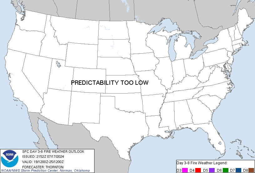
SPC Day 3-8 Fire Weather OutlookSPC Day 3-8 Fire Weather Outlook 
Day 3-8 Fire Weather Outlook
NWS Storm Prediction Center Norman OK
0354 PM CST Thu Feb 19 2026

Valid 211200Z - 271200Z

...Synopsis...
As upper-level troughing shifts eastward, a dry cold front sweeps
across the Southern Plains bringing dry northerly flow and fire
weather concerns to southern TX Day 3/Saturday. Widespread rainfall
across much of the Southeast should temporarily alleviate fire
weather concerns over the weekend. Rainfall should be limited
farther south across the Gulf Coast and FL, with particular concern
for FL where dry-post frontal northerly flow could increase the fire
weather threat for Day 4/Sunday and 5/Monday. The upper ridge will
begin to break down D6/Sunday, introducing dry return flow and
downslope winds across the Central and Southern Plains, potentially
increasing fire weather concerns through the extended period.

...Day 3/Saturday - Southern Texas...
Post frontal northerly winds behind a prominent dry cold front move
into TX Day 3/Saturday. Heightened fire weather concerns should
exist across portions of central and southern TX where RH will drop
to 10-20 percent with sustained northerly winds of 10-20 mph spread
across a dry fuelscape. 40% Critical probabilities have been
maintained.

...Day 4/Sunday and Day 5/Monday - Florida and Southern Plains...
Deep layer northwesterly flow develops across the Southeast and FL
behind a surface cold front underlying an amplifying upper-level
trough across the Northeast. Widespread wetting rainfall from Day
4/Sunday is expected to remain north of the Gulf Coast, with minimal
precipitation across FL. A cold front will pass through the northern
FL peninsula early afternoon D4/Sunday bringing post frontal
northwesterly winds and low RH. Coincident dry fuels should increase
the fire weather threat where 40% Critical probabilities have been
added. D5/Monday dry northwesterly flow is expected to shift to
southern FL where even lower RH is anticipated, maintaining 40%
Critical probabilities. There is uncertainty in the RH reductions
under a cooler, dry return flow pattern across the Southern Plains
on D5/Monday, which precludes introductions of Critical
probabilities at this time.

...Day 6/Tuesday - Southern and Central Plains...
Fire weather concerns reemerge across portions of the central and
southern High Plains via dry return flow and increasing westerly
winds aloft as the upper-level ridge across the Intermountain West
breaks down. 40% critical probabilities have been added where a
combination of low RH and strong westerly winds overlap dry fuels in
eastern NM, TX Panhandle, and southwestern OK. Beneath the
upper-level ridge a surface low will emerge in the lee of the
northern Rockies, tightening a surface pressure gradient across
eastern WY and western NE. Strong downslope winds may occur, though
cooler temperatures and RH uncertainties have limited the
introduction of Critical probabilities for now.

...Day 7/8 Wednesday/Thursday - West Texas...
40% probabilities have been introduced across the West TX region on
D7/Wednesday as long-range models are hinting at hot, dry, windy
conditions. Increasing northwest flow aloft and induced surface lee
troughing will support increased fire weather concerns. Uncertainty
is too high for D8/Thursday, though the anticipated pattern could
suggest an ongoing fire weather threat through the forecast period.

..Elizalde-Garcia/Williams.. 02/19/2026

...Please see www.spc.noaa.gov/fire for graphic product...
Read morehttps://www.spc.noaa.gov/products/exper/fire_wx/
|
|


CMS The Best Conveyancing solicitors conveyancing quotes throughout the UK
For any webhosting enquiries please email webmaster@aus-city.com
|
|
Entire Thread
|

 SPC Day 3-8 Fire Weather Outlook
|
Webmaster
|
Yesterday at 09:59 PM
|
|
Forums60
Topics762,368
Posts797,098
Members2,957
| |
Most Online17,963
Jan 15th, 2026
|
|
|