|
|
|
0 members (),
2,339
guests, and
18
robots. |
|
Key:
Admin,
Global Mod,
Mod
|
|
S |
M |
T |
W |
T |
F |
S |
|
1
|
2
|
3
|
4
|
5
|
6
|
7
|
|
8
|
9
|
10
|
11
|
12
|
13
|
14
|
|
15
|
16
|
17
|
18
|
19
|
20
|
21
|
|
22
|
23
|
24
|
25
|
26
|
27
|
28
|
|
29
|
30
|
31
|
|
|
|
|
|
There are no members with birthdays on this day. |

#731545
Sun 18 Aug 2024 07:20:PM
|
Joined: Feb 2001
Posts: 381,904
Launch Director
|
OP

Launch Director
Joined: Feb 2001
Posts: 381,904 |
CPHC Central North Pacific Outlook
ZCZC HFOTWOCP ALL
TTAA00 PHFO DDHHMM
Tropical Weather Outlook
NWS Central Pacific Hurricane Center Honolulu HI
800 AM HST Sun Aug 18 2024
For the central North Pacific...between 140W and 180W:
1. Approximately 1300 miles southeast of Hilo, Hawaii:
An area of low pressure located far southeast of the Hawaiian
Islands is producing some disorganized showers and thunderstorms on
its western side. This disturbance is forecast to interact with the
disturbance located to its east (mentioned below). If this system
becomes the dominant disturbance, some gradual development is
possible, and a tropical depression could form by the middle part of
the week as it moves slowly over the western portion of the East
Pacific. A faster west-northwestward motion into the Central Pacific
basin is likely by the latter portion of the week.
* Formation chance through 48 hours...low...30 percent.
* Formation chance through 7 days...medium...50 percent.
2. Approximately 1800 miles southeast of Hilo, Hawaii:
Disorganized showers and thunderstorms continue in association with
a broad trough of low pressure located well west-southwest of the
southern tip of the Baja California peninsula. This system is
forecast to interact with another disturbance to its west-southwest
(mentioned above) over the next few days, which could limit
additional development if this system does not become the dominant
disturbance. Regardless, a tropical depression could still form
during the middle part of the week. This system will generally
move west-northwestward before it possibly merges with the
disturbance (mentioned above).
* Formation chance through 48 hours...low...10 percent.
* Formation chance through 7 days...medium...40 percent.
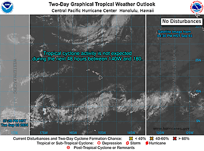
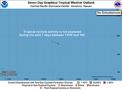
Elsewhere, no tropical cyclones are expected during the next 7 days.
Forecaster Blood
|
|


CMS The Best Conveyancing solicitors conveyancing quotes throughout the UK
For any webhosting enquiries please email webmaster@aus-city.com
|
|
Forums60
Topics767,104
Posts801,865
Members2,958
| |
Most Online17,963
Jan 15th, 2026
|
|
|
|
|
Copyright 1996 - 2026 by David Cottle. Designed by David Bate Jr. All Rights Reserved.
By using this forum, the user agrees not to transfer any data or technical information received under the agreement, to any other entity without the express approval of the AUS-CITY Forum Admins and/or authors of individual posts (Forum Admins and DoD/USSPACECOM for the analysis of satellite tracking data).
Two-line elements (TLE) and all other satellite data presented and distributed via this forum and e-mail lists of AUS-CITY are distributed with permission from DoD/USSTRATCOM.

Reprise Hosting

|

|


 - Click image for larger picture.")


