|
|
|
0 members (),
616
guests, and
34
robots. |
|
Key:
Admin,
Global Mod,
Mod
|
|
S |
M |
T |
W |
T |
F |
S |
|
1
|
2
|
3
|
4
|
5
|
6
|
7
|
|
8
|
9
|
10
|
11
|
12
|
13
|
14
|
|
15
|
16
|
17
|
18
|
19
|
20
|
21
|
|
22
|
23
|
24
|
25
|
26
|
27
|
28
|
|
29
|
30
|
|
|
|
|
|
|
There are no members with birthdays on this day. |
|
|
Joined: Feb 2001
Posts: 381,903
Launch Director
|
OP

Launch Director
Joined: Feb 2001
Posts: 381,903 |
SPC MD 2086MD 2086 CONCERNING SEVERE POTENTIAL...WATCH LIKELY FOR PARTS OF EAST CENTRAL AND SOUTHEASTERN MINNESOTA...ADJACENT NORTHERN IOWA AND WEST CENTRAL WISCONSIN 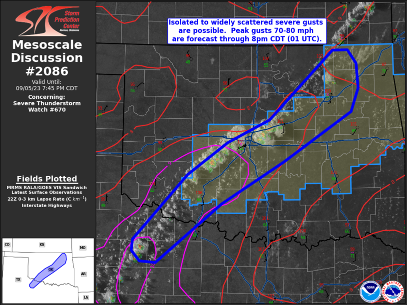
Mesoscale Discussion 2086
NWS Storm Prediction Center Norman OK
0126 PM CDT Thu Sep 19 2024

Areas affected...parts of east central and southeastern
Minnesota...adjacent northern Iowa and west central Wisconsin

Concerning...Severe potential...Watch likely

Valid 191826Z - 192030Z

Probability of Watch Issuance...80 percent

SUMMARY...Strong thunderstorm development appears increasingly
likely through 3-5 PM CDT, near/northwest of the Greater Minneapolis
area into areas southwest of Mankato.  This probably will include
the evolution of at least widely scattered supercells posing a risk
for severe hail, with largest hailstones perhaps exceeding 2 inches
in diameter.

DISCUSSION...To the southeast of an occluded lower/mid-tropospheric
cyclone, now beginning to redevelop eastward across southern
Manitoba, moderately strong destabilization is ongoing.  This is
generally focused ahead of a residual wind shift, within a plume of
higher low-level moisture content which is being maintained beneath
a tongue of cool mid-level air.  CAPE (up to 1500-2000 J/kg) appears
maximized within a rather narrow corridor beneath steep mid-level
lapse rates which roughly coincide with 500 mb temperatures around
-13 to -14 C.  This is forecast to continue slowly shifting across
the central through eastern Minnesota vicinity through mid to late
afternoon.

A relative warm layer around or just below the 700 mb level is
tending to suppress boundary-layer based thunderstorm initiation
along the potential instability axis.  However, model output is
suggestive that forcing for ascent in the left exit region of an
approaching jet streak, near the southern periphery of the cyclonic
mid/upper flow, will contribute to thunderstorm development across
southern Minnesota and adjacent northern Iowa by 20-22Z.

In the presence of at least strong deep-layer shear, it appears that
this will probably include widely scattered to scattered supercells,
initially generally west of the Minneapolis through Mankato
vicinities.  These probably will pose a risk for severe hail, with
largest stones perhaps exceeding 2 inches in diameter.

..Kerr/Gleason.. 09/19/2024

...Please see www.spc.noaa.gov for graphic product...

ATTN...WFO...DLH...ARX...MPX...DMX...FSD...

LAT...LON   44949418 45939279 45289127 43599265 43039368 43259525
            44949418
Read morehttps://www.spc.noaa.gov/products/md/md2086.html
|
|


CMS The Best Conveyancing solicitors conveyancing quotes throughout the UK
For any webhosting enquiries please email webmaster@aus-city.com
|
|
Forums60
Topics702,475
Posts737,089
Members2,957
| |
Most Online4,158
Jun 21st, 2024
|
|
|
|
|
Copyright 1996 - 2024 by David Cottle. Designed by David Bate Jr. All Rights Reserved.
By using this forum, the user agrees not to transfer any data or technical information received under the agreement, to any other entity without the express approval of the AUS-CITY Forum Admins and/or authors of individual posts (Forum Admins and DoD/USSPACECOM for the analysis of satellite tracking data).
Two-line elements (TLE) and all other satellite data presented and distributed via this forum and e-mail lists of AUS-CITY are distributed with permission from DoD/USSTRATCOM.

Reprise Hosting

|

|


 - Click image for larger picture.")


