|
|
|
0 members (),
6,708
guests, and
20
robots. |
|
Key:
Admin,
Global Mod,
Mod
|
|
S |
M |
T |
W |
T |
F |
S |
|
1
|
2
|
3
|
4
|
5
|
6
|
7
|
|
8
|
9
|
10
|
11
|
12
|
13
|
14
|
|
15
|
16
|
17
|
18
|
19
|
20
|
21
|
|
22
|
23
|
24
|
25
|
26
|
27
|
28
|
|
29
|
30
|
31
|
|
|
|
|
|
There are no members with birthdays on this day. |

#768761
Fri 25 Jul 2025 08:57:AM
|
Joined: Feb 2001
Posts: 381,904
Launch Director
|
OP

Launch Director
Joined: Feb 2001
Posts: 381,904 |
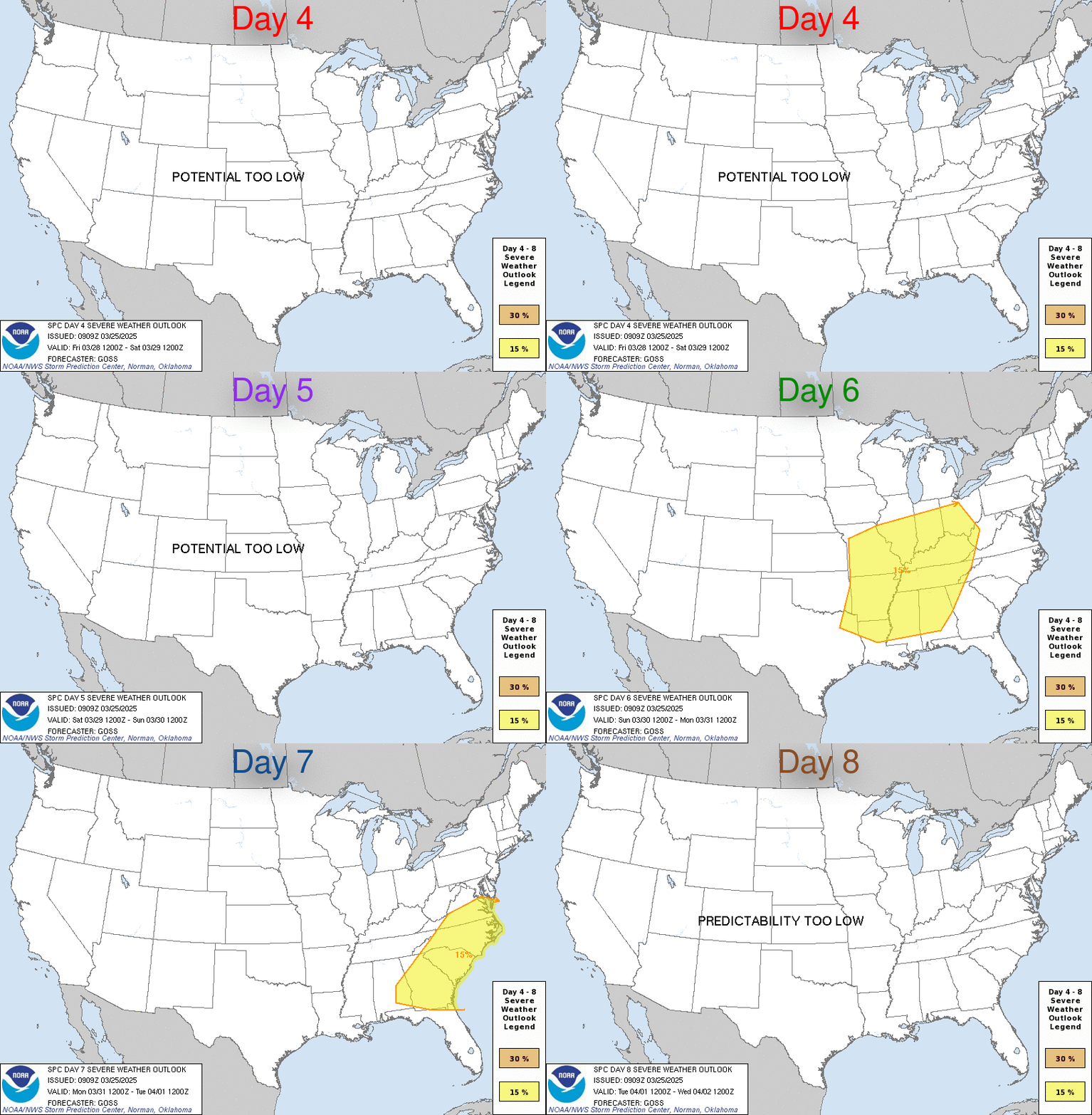
SPC Jul 25, 2025 Day 4-8 Severe Weather OutlookDay 4-8 Outlook 
Day 4-8 Convective Outlook
NWS Storm Prediction Center Norman OK
0355 AM CDT Fri Jul 25 2025

Valid 281200Z - 021200Z

...DISCUSSION...
The strongest mid-level flow will move from the Upper Midwest into
the Northeast this weekend into the middle of next week. As this
occurs, a surface boundary will slowly sag into the central Plains
and Ohio Valley. Given the very moist airmass to the south of the
boundary, strong to potentially severe storms are possible along the
boundary at least into the middle of next week. With the stronger
flow/shear displace north of the boundary and model differences in
the location, uncertainty remains too high for highlights.

Farther west, moisture will be pushed up against parts of the
northern Rockies and adjacent High Plains. Between the terrain and
shortwave troughs moving through the central U.S. ridge, it is
possible strong to severe storms could develop and progress along
the surface boundary into greater areas of moisture/buoyancy in the
Plains. Given the dependency on the low-predictability shortwaves,
it is not clear where the greatest risk will be from the High Plains
into the Plains through the middle of next week.

By the end of next week, model guidance suggests a general trend of
continued upper ridge building into Plains. Stronger mid-level winds
will remain in parts of the Northeast with additional shortwave
perturbations moving through parts of the northern Rockies. Severe
risk along the boundary should decrease as it becomes further
removed from the stronger flow. Though predictability is low
regarding the shortwave troughs, some severe risk could develop in
parts of the northern Rockies.
Read morehttps://www.spc.noaa.gov/products/exper/day4-8/
|
|


CMS The Best Conveyancing solicitors conveyancing quotes throughout the UK
For any webhosting enquiries please email webmaster@aus-city.com
|
|
Forums60
Topics764,232
Posts798,973
Members2,958
| |
Most Online17,963
Jan 15th, 2026
|
|
|
|
|
Copyright 1996 - 2026 by David Cottle. Designed by David Bate Jr. All Rights Reserved.
By using this forum, the user agrees not to transfer any data or technical information received under the agreement, to any other entity without the express approval of the AUS-CITY Forum Admins and/or authors of individual posts (Forum Admins and DoD/USSPACECOM for the analysis of satellite tracking data).
Two-line elements (TLE) and all other satellite data presented and distributed via this forum and e-mail lists of AUS-CITY are distributed with permission from DoD/USSTRATCOM.


Reprise Hosting


|

|