|
|
|
0 members (),
2,791
guests, and
29
robots. |
|
Key:
Admin,
Global Mod,
Mod
|
|
S |
M |
T |
W |
T |
F |
S |
|
1
|
2
|
3
|
4
|
5
|
6
|
7
|
|
8
|
9
|
10
|
11
|
12
|
13
|
14
|
|
15
|
16
|
17
|
18
|
19
|
20
|
21
|
|
22
|
23
|
24
|
25
|
26
|
27
|
28
|
|
There are no members with birthdays on this day. |

#781505
Sat 01 Nov 2025 09:41:PM
|
Joined: Feb 2001
Posts: 381,904
Launch Director
|
OP

Launch Director
Joined: Feb 2001
Posts: 381,904 |
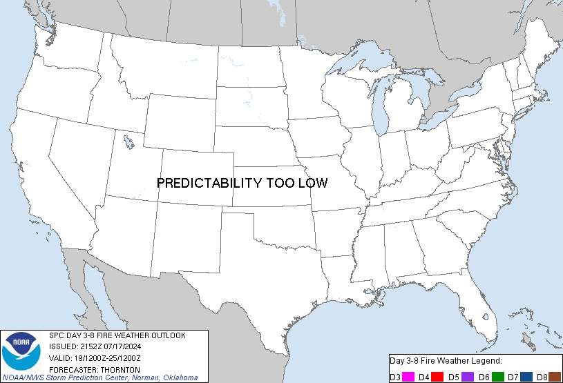
SPC Day 3-8 Fire Weather OutlookSPC Day 3-8 Fire Weather Outlook 
Day 3-8 Fire Weather Outlook
NWS Storm Prediction Center Norman OK
0436 PM CDT Sat Nov 01 2025

Valid 031200Z - 091200Z

Weak ridging and quasi-zonal flow will dominate much of the western
and central US through mid-week. Stronger westerly flow will develop
over the West and impinge on the Rockies and southern High Plains by
late in the week. A compact upper low will exit the Southeast by Day
4/Tuesday, while strong flow aloft and general upper-level troughing
are expected over the Great Lakes and Northeast through Day
5/Wednesday.

...High Plains...
Dry/breezy southerly winds are likely on portions of the southern
High Plains on Day 3/Monday with winds turning more westerly on Day
4/Tuesday as lee troughing develops amid modest downslope flow.
Dry/breezy conditions are also likely in portions of southeast
Wyoming into western Nebraska and northeast Colorado on Day
4/Tuesday. If forecast guidance continues to trend towards
drier/breezier conditions, 40% areas may be needed on Day 4/Tuesday.

Stronger winds aloft arrive by Day 6/Thursday leading to stronger
downslope flow and deeper lee troughing on portions of the High
Plains. The 40% probability area was expanded on the southern High
Plains and additional areas on the central/northern High Plains may
be necessary, especially if confidence increases in lower forecast
RH values.

...Southeast/Mid-Atlantic...
Dry and potentially breezy conditions are expected in portions of
the Southeast into the Mid-Atlantic on Day 4/Tuesday - Day
5/Wednesday. Some of these areas have received recent precipitation,
but southern Georgia into North Florida and southeast Alabama have
received less. Additionally, portions of the Carolinas into the
DelMarVa have longer-term dryness even with recent rainfall. The
lack of overlap of stronger winds and lower RH preclude introducing
areas at this time.

..Nauslar.. 11/01/2025

...Please see www.spc.noaa.gov/fire for graphic product...
Read morehttps://www.spc.noaa.gov/products/exper/fire_wx/
|
|


CMS The Best Conveyancing solicitors conveyancing quotes throughout the UK
For any webhosting enquiries please email webmaster@aus-city.com
|
|
Forums60
Topics761,264
Posts795,990
Members2,957
| |
Most Online17,963
Jan 15th, 2026
|
|
|
|
|
Copyright 1996 - 2026 by David Cottle. Designed by David Bate Jr. All Rights Reserved.
By using this forum, the user agrees not to transfer any data or technical information received under the agreement, to any other entity without the express approval of the AUS-CITY Forum Admins and/or authors of individual posts (Forum Admins and DoD/USSPACECOM for the analysis of satellite tracking data).
Two-line elements (TLE) and all other satellite data presented and distributed via this forum and e-mail lists of AUS-CITY are distributed with permission from DoD/USSTRATCOM.


Reprise Hosting


|

|