|
|
|
0 members (),
837
guests, and
27
robots. |
|
Key:
Admin,
Global Mod,
Mod
|
|
S |
M |
T |
W |
T |
F |
S |
|
|
|
1
|
2
|
3
|
4
|
5
|
|
6
|
7
|
8
|
9
|
10
|
11
|
12
|
|
13
|
14
|
15
|
16
|
17
|
18
|
19
|
|
20
|
21
|
22
|
23
|
24
|
25
|
26
|
|
27
|
28
|
29
|
30
|
|
|
|
|
There are no members with birthdays on this day. |
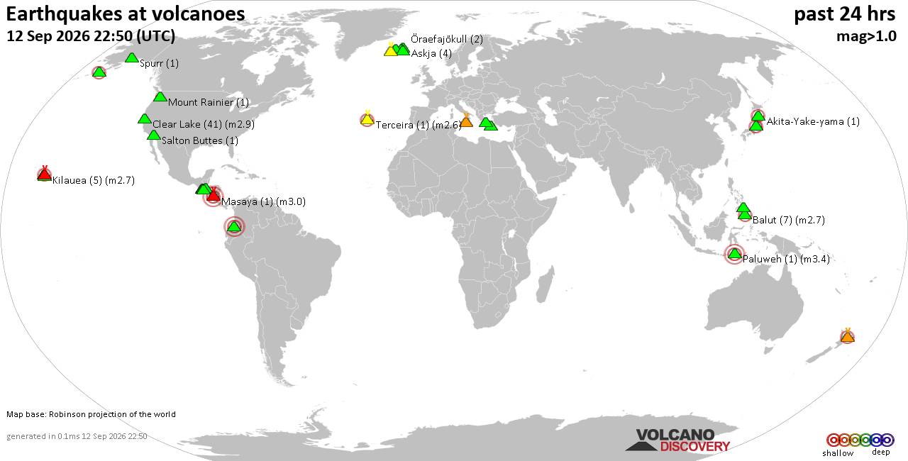
Volcano earthquake report for Saturday, 12 September 2026
• World Earthquake Report for Saturday, 12 September 2026
• Moderate but deep magnitude 5.3 quake hits 74 km southeast of Nakanoshima, ...
• Strong mag. 5.3 earthquake - Ryukyu Islands, Japan, on Sunday, Sep 13, 2026...
• Seismic-like event, possible earthquake, reported minutes ago near Pasto, N...
• Moderate mag. 4.3 earthquake - Philippine Sea, 34 km south of Miyake, Tokyo...
|

#832657
Mon 10 Aug 2026 12:49:PM
|
Joined: Feb 2001
Posts: 678,977
Launch Director
|
|
Launch Director
Joined: Feb 2001
Posts: 678,977 |
Small magnitude 3.7 earthquake 19 miles southeast of Price, Utah, United States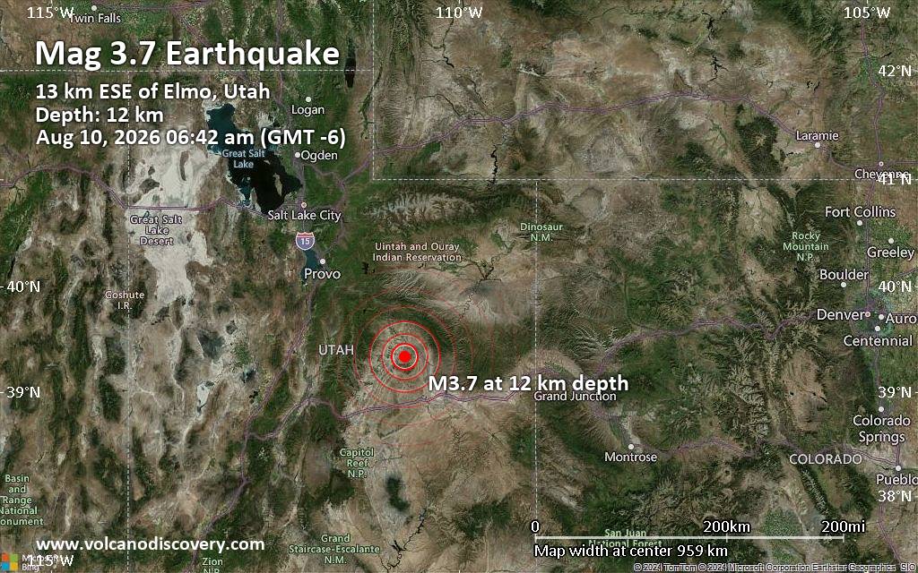 A shallow magnitude 3.7 earthquake was reported early morning near Price, Carbon County, Utah, USA.
According to the United States Geological Survey, the quake hit on Monday, August 10th, 2026, at 6:42 am local time at a shallow depth of 7.4 miles. Shallow earthquakes are felt more strongly than deeper ones as they are closer to the surface. The exact magnitude, epicenter, and depth of the quake might be revised within the next few hours or minutes as seismologists review data and refine their calculations, or as other agencies issue their report.
Our monitoring service identified a second report from the European-Mediterranean Seismological Centre (EMSC) which listed the quake at magnitude 3.7 as well.
Based on the preliminary seismic data, the quake should not have caused any significant damage, but was probably felt by many people as light vibration in the area of the epicenter.
Weak shaking might have been felt in Carson (pop. 410) located 9 miles from the epicenter, Wellington (pop. 1,600) 14 miles away, Huntington (pop. 2,000) 16 miles away, Price (pop. 8,400) 19 miles away, East Carbon City (pop. 1,300) 20 miles away, Castle Dale (pop. 1,600) 21 miles away, and Carbonville (pop. 1,600) 21 miles away.
Other towns or cities near the epicenter where the quake might have been felt as very weak shaking include Helper (pop. 2,100) located 26 miles from the epicenter.
Earthquake data: Date & time: Aug 10, 2026 06:42 am (GMT -6) local time (10 Aug 2026 12:42 GMT)Magnitude: 3.7 Depth: 11.86 km Epicenter latitude / longitude: 39.34°N / 110.67°W  ( Emery County, Utah, United States) Primary data source: USGShttps://www.volcanodiscovery.com/earthquake/news/323392/Small-magnitude-37-earthquake-19-miles-southeast-of-Price-Utah-United-States.html
|
|



CMS The Best Conveyancing solicitors conveyancing quotes throughout the UK
For any webhosting enquiries please email webmaster@aus-city.com
|
|
Forums60
Topics825,435
Posts860,228
Members2,960
| |
Most Online102,106
Jul 10th, 2026
|
|
|
|
|

|





































