|
|
|
0 members (),
1,280
guests, and
29
robots. |
|
Key:
Admin,
Global Mod,
Mod
|
|
S |
M |
T |
W |
T |
F |
S |
|
|
|
|
|
1
|
2
|
3
|
|
4
|
5
|
6
|
7
|
8
|
9
|
10
|
|
11
|
12
|
13
|
14
|
15
|
16
|
17
|
|
18
|
19
|
20
|
21
|
22
|
23
|
24
|
|
25
|
26
|
27
|
28
|
29
|
30
|
31
|
|
There are no members with birthdays on this day. |
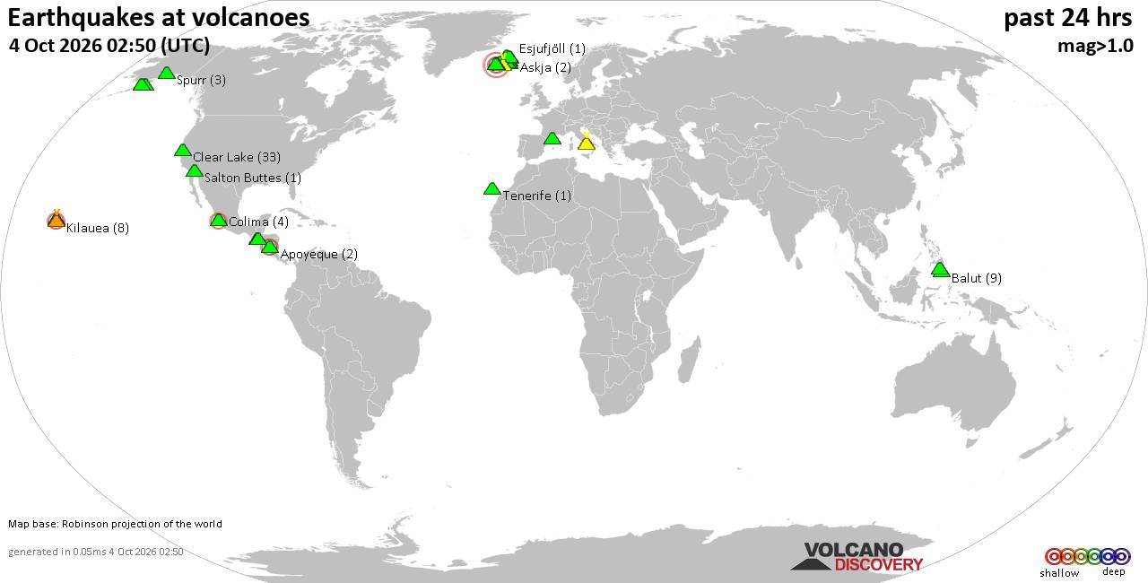
Volcano earthquake report for Sunday, 4 October 2026
• M 0.3 - 9 km SW of Beaumont, CA
• M 0.8 - 8 km NW of The Geysers, CA
• M 4.5 - 57 km S of Buala, Solomon Islands
• M 2.0 - 2 km NE of Almanor, CA
• M 0.9 - 15 km N of California City, CA
• M 1.9 - 22 km SSE of Pāhala, Hawaii
|
|
|
Joined: Feb 2001
Posts: 678,977
Launch Director
|
|
Launch Director
Joined: Feb 2001
Posts: 678,977 |
SPC Oct 4, 2026 2000 UTC Day 1 Convective OutlookSPC 2000Z Day 1 Outlook 
Day 1 Convective Outlook
NWS Storm Prediction Center Norman OK
0228 PM CDT Sun Oct 04 2026

Valid 042000Z - 051200Z

...THERE IS A MARGINAL RISK OF SEVERE THUNDERSTORMS ACROSS PARTS OF
THE FLORIDA PANHANDLE/FAR SOUTHERN ALABAMA...

...SUMMARY...
A few rotating thunderstorms are possible today across parts of the
Florida Panhandle/far southern Alabama.

...20z Update...
No changes were made to the current D1 Convective Outlook. See
previous discussion below for more information.

..Thornton.. 10/04/2026

.PREV DISCUSSION... /ISSUED 1125 AM CDT Sun Oct 04 2026/

...Florida Panhandle/Far Southern Alabama...
A nearly stationary surface front will reside across the Southeast
today, with a very moist airmass (total PWAT values of 2+ inches)
persisting along and to its south. Scattered showers/thunderstorms
will continue to develop south of the front this afternoon,
including across the northern Gulf. It is still possible that a weak
offshore surface low may form later today, with modest enhancement
to the low-level flow and effective SRH near a weak boundary draped
along or just offshore the FL Panhandle and far southern AL. Should
this occur, convection may have the potential to exhibit transient
low-level circulations mainly near the coast, with related
waterspout/brief tornado potential. However, the severe threat will
likely be constrained by poor lapse rates/weak instability, with
some guidance (namely recent RAP runs) suggesting that the modest
increase in low-level flow may not occur.
Read morehttps://www.spc.noaa.gov/products/outlook/day1otlk_2000.html
|
|



CMS The Best Conveyancing solicitors conveyancing quotes throughout the UK
For any webhosting enquiries please email webmaster@aus-city.com
|
|
Forums60
Topics856,689
Posts891,484
Members2,960
| |
Most Online102,106
Jul 10th, 2026
|
|
|
|
|

|









































