|
|
|
0 members (),
676
guests, and
20
robots. |
|
Key:
Admin,
Global Mod,
Mod
|
|
S |
M |
T |
W |
T |
F |
S |
|
|
|
|
1
|
2
|
3
|
4
|
|
5
|
6
|
7
|
8
|
9
|
10
|
11
|
|
12
|
13
|
14
|
15
|
16
|
17
|
18
|
|
19
|
20
|
21
|
22
|
23
|
24
|
25
|
|
26
|
27
|
28
|
29
|
30
|
31
|
|
|
There are no members with birthdays on this day. |

#777884
Sun 12 Oct 2025 09:29:PM
|
Joined: Feb 2001
Posts: 381,904
Launch Director
|
OP

Launch Director
Joined: Feb 2001
Posts: 381,904 |
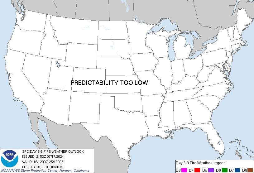
SPC Day 3-8 Fire Weather OutlookSPC Day 3-8 Fire Weather Outlook 
Day 3-8 Fire Weather Outlook
NWS Storm Prediction Center Norman OK
0424 PM CDT Sun Oct 12 2025

Valid 141200Z - 201200Z

Deep upper-level troughing will be over much of the West through Day
5/Thursday, with the upper low likely tracking from the central
California coast northeast to the northern High Plains. Cyclogenesis
will develop on the central High Plains during mid-week, and a cold
front will move east/south across the Plains late in the week into
the weekend. Upper-level troughing will deepen over the eastern
Great Lakes and Northeast mid to late week, with strong
north-northwesterly flow developing on the backside of the trough. A
cold front will push south/east through the eastern/southern US Day
3/Tuesday - Day 4/Wednesday, with areas of dry/breezy post-frontal
conditions following.

...Central/southern High Plains...
Increasing south-southwesterly surface winds amid downslope flow and
lee troughing is expected on Day 4/Wednesday along/east of the Front
Range in Colorado. Forecast guidance indicates the potential for
isolated showers/thunderstorms on portions of the central High
Plains leaving a relatively narrow corridor where elevated fire
weather conditions may develop on Day 4/Wednesday. There is a low
chance of drier return flow across portions of central/west Texas on
Day 3/Tuesday - Day 4/Wednesday that could yield elevated fire
weather conditions. The potential for elevated fire weather
conditions shifts southward on Day 5/Thursday and again on Day
6/Friday onto the southern High Plains. However, given
recent/forecast rainfall and lack of overlap of forecast
elevated/critical winds/RH, probabilities remain too low for
inclusion.

...Appalachians into Lower Mississippi Valley...
Breezy north-northeast winds may overlap RH approaching elevated
criteria and receptive fuels in portions of the Lower Mississippi
Valley Day 3/Tuesday - Day 4/Wednesday. This overlap and potential
elevated fire weather conditions may extend into the
southern/central Appalachians as well. Dry/breezy conditions are
likely in portions of Mid-Atlantic and Northeast Day 5/Thursday and
may continue into Day 6/Friday. While much of the Northeast has had
recent rainfall, some drier pockets remain, but there is low
confidence in elevated/critical winds/RH coinciding with these drier
pockets at this time.

..Nauslar.. 10/12/2025

...Please see www.spc.noaa.gov/fire for graphic product...
Read morehttps://www.spc.noaa.gov/products/exper/fire_wx/
|
|


CMS The Best Conveyancing solicitors conveyancing quotes throughout the UK
For any webhosting enquiries please email webmaster@aus-city.com
|
|
Entire Thread
|

 SPC Day 3-8 Fire Weather Outlook
|
Webmaster
|
Sun 12 Oct 2025 09:29:PM
|
|
Forums60
Topics742,488
Posts777,117
Members2,958
| |
Most Online4,158
Jun 21st, 2024
|
|
|
|
|
Copyright 1996 - 2024 by David Cottle. Designed by David Bate Jr. All Rights Reserved.
By using this forum, the user agrees not to transfer any data or technical information received under the agreement, to any other entity without the express approval of the AUS-CITY Forum Admins and/or authors of individual posts (Forum Admins and DoD/USSPACECOM for the analysis of satellite tracking data).
Two-line elements (TLE) and all other satellite data presented and distributed via this forum and e-mail lists of AUS-CITY are distributed with permission from DoD/USSTRATCOM.


Reprise Hosting


|

|