|
0 members (),
764
guests, and
36
robots. |
|
Key:
Admin,
Global Mod,
Mod
|
|
S |
M |
T |
W |
T |
F |
S |
|
|
|
|
|
|
|
1
|
|
2
|
3
|
4
|
5
|
6
|
7
|
8
|
|
9
|
10
|
11
|
12
|
13
|
14
|
15
|
|
16
|
17
|
18
|
19
|
20
|
21
|
22
|
|
23
|
24
|
25
|
26
|
27
|
28
|
29
|
|
30
|
31
|
|
|
|
|
|
|
There are no members with birthdays on this day. |
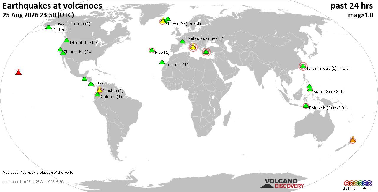
Volcano earthquake report for Tuesday, 25 Aug 2026
• Light mag. 3.9 earthquake - Myanmar (Burma): 85km NNW of Burma, Myanmar, on...
• World Earthquake Report for Tuesday, 25 August 2026
• Moderate mag. 4.0 earthquake - South OF Bali, Indonesia, on Wednesday, Aug ...
• Moderate mag. 4.7 earthquake - 77 km E of Tomioka, Japan, on Wednesday, Aug...
• Moderate mag. 4.2 earthquake - 192 km SSE of Sarangani, Philippines, on Wed...
|
|
|
Joined: Feb 2001
Posts: 678,977
Launch Director
|
|
Launch Director
Joined: Feb 2001
Posts: 678,977 |
Atlantic Tropical Weather Outlook


000
ABNT20 KNHC 251750
TWOAT
Tropical Weather Outlook
NWS National Hurricane Center Miami FL
200 PM EDT Tue Aug 25 2026
For the North Atlantic...Caribbean Sea and the Gulf of America:
Central Subtropical Atlantic (AL95):
An area of low pressure located several hundred miles northeast
of Bermuda is moving north-northeastward at 15 to 20 mph. The
associated shower activity remains disorganized and the circulation
is broad and elongated. This system could still become a
short-lived tropical depression or storm tonight before encountering
increasingly hostile conditions by early Wednesday, likely ending
its chances for development.
* Formation chance through 48 hours...medium...40 percent.
* Formation chance through 7 days...medium...40 percent.
Eastern Tropical Atlantic (AL96):
Showers and thunderstorms associated with an area of low pressure
centered a few hundred miles south-southeast of the Cabo Verde
Islands have changed little in organization over the past several
hours. However, environmental conditions appear conducive for
gradual development, and this system is likely to become a tropical
depression during the next day or two while it moves westward to
west-northwestward across the eastern and central tropical Atlantic.
Environmental conditions could become less conducive for development
by the weekend.
* Formation chance through 48 hours...high...70 percent.
* Formation chance through 7 days...high...70 percent.
$$
Forecaster Pasch
|
|



CMS The Best Conveyancing solicitors conveyancing quotes throughout the UK
For any webhosting enquiries please email webmaster@aus-city.com
|
|
Entire Thread
|

 Atlantic Tropical Weather Outlook
|
Webmaster
|
Yesterday at 05:50 PM
|
|
Forums60
Topics801,772
Posts836,565
Members2,960
| |
Most Online102,106
Jul 10th, 2026
|
|
|





































