|
|
|
0 members (),
392
guests, and
29
robots. |
|
Key:
Admin,
Global Mod,
Mod
|
|
S |
M |
T |
W |
T |
F |
S |
|
1
|
2
|
3
|
4
|
5
|
6
|
7
|
|
8
|
9
|
10
|
11
|
12
|
13
|
14
|
|
15
|
16
|
17
|
18
|
19
|
20
|
21
|
|
22
|
23
|
24
|
25
|
26
|
27
|
28
|
|
29
|
30
|
|
|
|
|
|
|
There are no members with birthdays on this day. |

#725785
Fri 14 Jun 2024 05:40:PM
|
Joined: Feb 2001
Posts: 381,903
Launch Director
|
OP

Launch Director
Joined: Feb 2001
Posts: 381,903 |
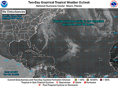
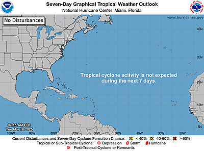
NHC Atlantic Outlook


ZCZC MIATWOAT ALL
TTAA00 KNHC DDHHMM
Tropical Weather Outlook
NWS National Hurricane Center Miami FL
200 PM EDT Fri Jun 14 2024
For the North Atlantic...Caribbean Sea and the Gulf of Mexico:
1. Offshore of the Southeastern U.S. (AL90):
Satellite data and surface observations indicate that the low
pressure area offshore of the southeastern U.S. coast is moving
northeastward into the open Atlantic. This system is expected to
merge with with a front over the weekend, and the chances of
tropical cyclone development are decreasing. Regardless of
development, heavy rainfall is forecast to continue across portions
of the Florida peninsula through Saturday. For more information,
see products issued by the Weather Prediction Center and local
National Weather Service Forecast Offices.
* Formation chance through 48 hours...low...10 percent.
* Formation chance through 7 days...low...10 percent.
2. Southwestern Gulf of Mexico:
A broad area of low pressure is forecast to form over the
southwestern Gulf of Mexico late this weekend or early next week.
Environmental conditions appear conducive for gradual development of
this system, and a tropical depression could form during the early
or middle part of next week while it moves slowly westward or
west-northwestward.
* Formation chance through 48 hours...low...near 0 percent.
* Formation chance through 7 days...medium...50 percent.
Weather Prediction Center products can be found at
www.wpc.ncep.noaa.gov and National Weather Service forecast
information can be found at www.weather.gov
Forecaster Beven
|
|


CMS The Best Conveyancing solicitors conveyancing quotes throughout the UK
For any webhosting enquiries please email webmaster@aus-city.com
|
|
Forums60
Topics703,212
Posts737,826
Members2,957
| |
Most Online4,158
Jun 21st, 2024
|
|
|
|
|
Copyright 1996 - 2024 by David Cottle. Designed by David Bate Jr. All Rights Reserved.
By using this forum, the user agrees not to transfer any data or technical information received under the agreement, to any other entity without the express approval of the AUS-CITY Forum Admins and/or authors of individual posts (Forum Admins and DoD/USSPACECOM for the analysis of satellite tracking data).
Two-line elements (TLE) and all other satellite data presented and distributed via this forum and e-mail lists of AUS-CITY are distributed with permission from DoD/USSTRATCOM.


Reprise Hosting


|

|