


Perseverance continues its uphill march through the tricky terrain of the margin unit, an area with enhanced signals of carbonate. We are headed toward a region we’ve nicknamed “Beehive Geyser,” an area about 500 m to the west. What draws us here? Well, this region lies approximately 60 m above the part of the margin unit that we encountered and sampled for the first time last September. By comparing the rock’s characteristics at this higher interval with what we’ve already seen, we hope to uncover clues about the emplacement and history of the unit.
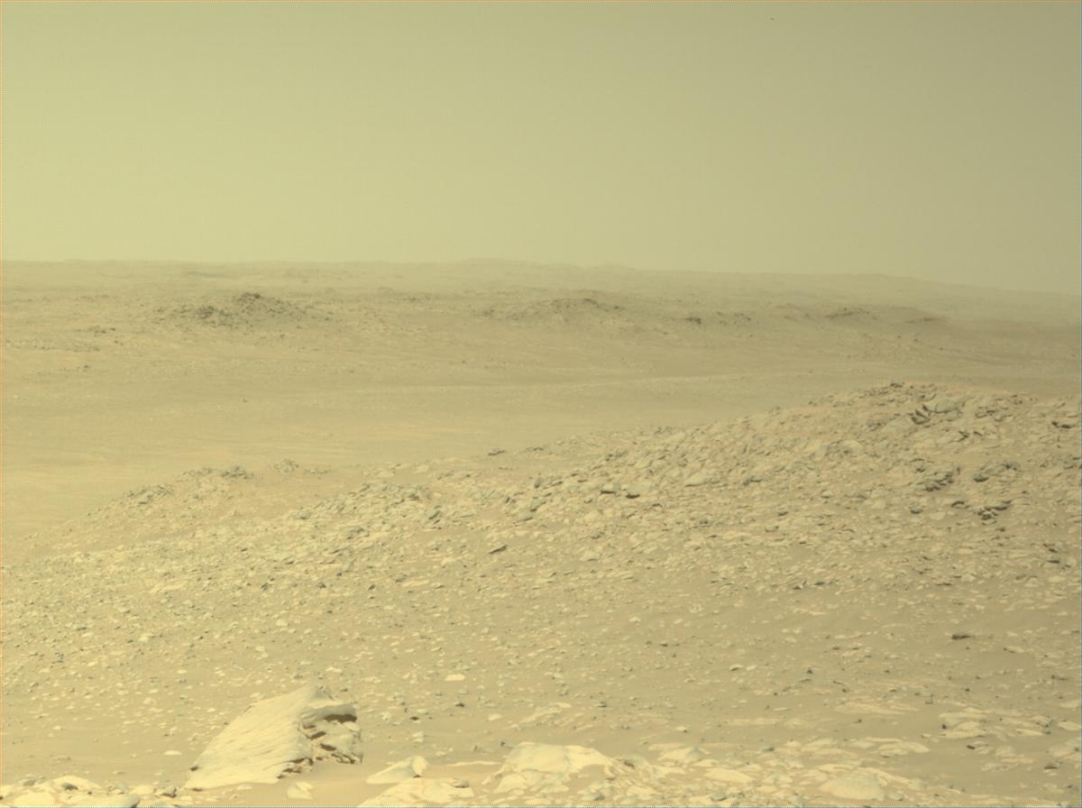
In recent days, the team has been excited by data from the rover’s RIMFAX instrument, which uses radar waves to map out subsurface layers underneath the rover. Several days ago, the rover passed across a ridge that appears to correspond to one of these subsurface layers. Intrigued, we’ve spotted a large rock in the ridge’s vicinity we’ve nicknamed “Bunsen Peak”. Later this week, we plan to drive up to this rock and attempt proximity science using the rover’s arm. In the meantime, we’re acquiring images of the nearby ridge, as well as chemical data on nearby rocks and sand using the SuperCam laser.
Once we’ve completed our excursion to “Bunsen Peak”, we’ll resume our journey towards “Beehive Geyser.” The science team is eager to gather more observations that will help us to uncover the secrets of the mysterious margin unit!
Written by Athanasios Klidaras, Ph.D. Student at Purdue University


 - Click image for larger picture.")


