|
0 members (),
927
guests, and
27
robots. |
|
Key:
Admin,
Global Mod,
Mod
|
|
S |
M |
T |
W |
T |
F |
S |
|
|
|
|
|
|
|
1
|
|
2
|
3
|
4
|
5
|
6
|
7
|
8
|
|
9
|
10
|
11
|
12
|
13
|
14
|
15
|
|
16
|
17
|
18
|
19
|
20
|
21
|
22
|
|
23
|
24
|
25
|
26
|
27
|
28
|
29
|
|
30
|
31
|
|
|
|
|
|
|
There are no members with birthdays on this day. |
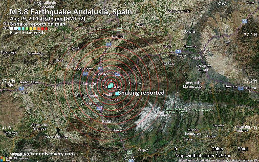
Seismic-like event, possible earthquake, reported few minutes ago near Granada, Andalusia, Spain
• Volcano earthquake report for Wednesday, 19 Aug 2026
• Moderate magnitude 4.8 earthquake 81 km north of Sanchez-Mira, Philippines
• Moderate mag. 4.0 earthquake - North Pacific Ocean, 30 km southeast of Peta...
• Moderate mag. 4.8 earthquake - South China Sea, 36 km west of Calayan Islan...
• World Earthquake Report for Wednesday, 19 August 2026
|
|
|
Joined: Feb 2001
Posts: 678,976
Launch Director
|
OP

Launch Director
Joined: Feb 2001
Posts: 678,976 |
SPC MD 2045MD 2045 CONCERNING SEVERE POTENTIAL...WATCH UNLIKELY FOR PORTIONS OF NORTHERN AND CENTRAL ILLINOIS...CENTRAL AND NORTHERN INDIANA...WESTERN OHIO 
Mesoscale Discussion 2045
NWS Storm Prediction Center Norman OK
0452 PM CDT Wed Aug 19 2026

Areas affected...portions of northern and central Illinois...central
and northern Indiana...western Ohio

Concerning...Severe potential...Watch unlikely

Valid 192152Z - 192315Z

Probability of Watch Issuance...20 percent

SUMMARY...Isolated severe storms may develop along a west-to-east
oriented boundary through the remainder of the afternoon.

DISCUSSION...Scattered thunderstorms have been increasing in
intensity along a diffuse west-to-east oriented boundary extending
from central and northern Illinois into western Ohio. Along this
boundary, over 1000 J/kg MLCAPE is in place, along with substantial
0-3 km CAPE (150-175 J/kg). Furthermore, an 80 kt 300 mb jet streak
is overspreading the OH Valley, contributing to 50+ kts of effective
bulk shear (mainly speed shear in the mid to upper levels per RAP
forecast soundings). Given these conditions, the current thinking is
that a few of the stronger storms along this baroclinic boundary may
become transient supercellular, capable of producing a couple
instances of severe wind/hail or even a brief tornado.

..Squitieri/Guyer.. 08/19/2026

...Please see www.spc.noaa.gov for graphic product...

ATTN...WFO...CLE...ILN...IWX...IND...LOT...ILX...DVN...

LAT...LON   40218970 40349089 40539121 40689113 40989078 41398787
            40708286 40268248 39988279 40058660 40218970

MOST PROBABLE PEAK TORNADO INTENSITY...UP TO 90 MPH
MOST PROBABLE PEAK WIND GUST...UP TO 60 MPH
MOST PROBABLE PEAK HAIL SIZE...UP TO 1.25 IN
Read morehttps://www.spc.noaa.gov/products/md/md2045.html
|
|



CMS The Best Conveyancing solicitors conveyancing quotes throughout the UK
For any webhosting enquiries please email webmaster@aus-city.com
|
|
Forums60
Topics798,627
Posts833,417
Members2,960
| |
Most Online102,106
Jul 10th, 2026
|
|
|





































